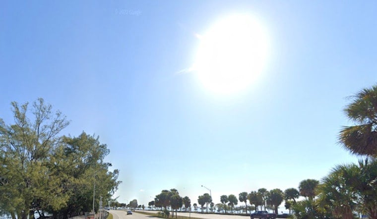
Miami woke up in full-on sweat mode on Wednesday, June 17, 2026, with clear skies, muggy air, and temperatures already in the low 80s. Forecasters expect another steamy afternoon ahead, with highs near 90 and heat index values that could climb past 105°F. A Heat Advisory is in effect for coastal and metro Miami-Dade and Broward from noon to 6 p.m., so anyone planning outdoor work or events should time things carefully.
Afternoon Storms and Strong Gusts
Showers and thunderstorms are expected to bubble up in the mid to late afternoon, mainly after 3 p.m., with about a 30% chance across the metro area and higher odds farther inland. The stronger storms could bring brief but heavy downpours and gusty winds that may trigger localized urban or poor-drainage flooding. According to the National Weather Service, south winds will generally run around 6 to 13 mph, with higher gusts possible inside storms.
Heat Advisory and What To Do
The advisory highlights heat index values of 105 to 108°F in coastal and metro zones, a range that makes heat-related illness a real concern for anyone working or lingering outside for long stretches. Residents are urged to drink plenty of water, take frequent breaks in air-conditioned spaces, and avoid strenuous activity during the advisory hours. Miami-Dade County has activated emergency heat outreach and is listing cooling-center locations and donation drop-off spots for water and cooling supplies. Details and maps are available from Miami-Dade County.
Smoke and Air Quality
Forecasters are also watching smoke from active fires in western Miami-Dade, including the Quarry 2 and Well fires. That smoke could drift north and northeast and temporarily knock down air quality in some neighborhoods. People with asthma or other respiratory issues are advised to limit long periods of outdoor exertion and keep necessary medications close. The National Weather Service has flagged the smoke risk alongside the ongoing heat advisory.
What To Expect This Week
Through the end of the week, highs are expected to hover near 90 with daily chances for afternoon storms. Overnight lows along the coast should stay in the upper 70s to low 80s, which means nights will offer only modest relief from the heat. This page will be updated if the Heat Advisory is extended or if storm concerns increase; for more background, see how the noon heat advisory turns city into a steam bath.


