Northeast Missouri is in for a soggy stretch as the National Weather Service in St. Louis warns that several local rivers are set to spill out of their banks, bringing minor flooding to low-lying roads and properties.
The late Wednesday night Flood Warning covers portions of the Mid Fork Salt River near Holliday and both the North and Middle Fabius rivers near Ewing, and is expected to stay in place through the middle of next week. Local officials are urging drivers to steer clear of flooded roadways as water levels rise and fall over the coming days.
According to the National Weather Service in St. Louis, the Flood Warning was issued at 10:55 p.m. CDT on June 10 and is valid until 4:00 p.m. CDT on June 14. The agency notes that river forecasts are based on a combination of observed and forecast precipitation, and that minor flooding is expected along the named stretches during the warning period.
As reported by ABC17 News, the Mid Fork Salt River near Holliday is forecast to rise above flood stage and crest near 19.2 feet Friday evening, above the 17.0-foot flood stage, after being around 9.3 feet Wednesday night. At roughly 19.0 feet, a wastewater lift station would begin to flood.
What To Watch And How To Prepare
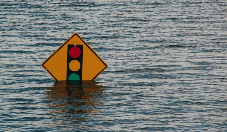
Residents along the affected rivers are being urged to move valuables out of basements and to have a plan to shelter on higher ground if water begins to reach low-lying yards. As outlined by the National Weather Service, motorists should follow the familiar guidance to "Turn around, don't drown" and never drive around barricades or through flooded areas, no matter how shallow the water appears.
Keep Tabs On River Stages
River levels can change quickly when heavy rain moves through, so people near the Mid Fork Salt, North Fabius, or Middle Fabius rivers should keep an eye on local road-closing notices and updated flood information. The NWS St. Louis office posts forecast hydrographs and river stages online, and local broadcasters are carrying the latest advisories.
This story will be updated if the National Weather Service extends, upgrades, or cancels the warning. If you are in the affected area and need immediate assistance, contact your county emergency management office or local authorities.


