Cocke County emergency officials spent Saturday urging residents to keep a close eye on the sky after the National Weather Service office in Morristown issued a Flood Watch for a big slice of East Tennessee. The alert covers foothill and valley communities, including portions of northwest Cocke County and neighboring Hamblen County, and is expected to stay in effect through mid-morning Sunday. Forecasters warned that slow-moving, training storms could quickly dump enough rain to trigger localized flooding on creeks, low-lying roads and low-water crossings.
Flood Watch Details From NWS
The National Weather Service in Morristown issued the Flood Watch for dozens of counties in eastern Tennessee and southwest Virginia, noting that “flooding caused by excessive rainfall is possible,” according to the National Weather Service in Morristown. The alert is listed as running from Saturday evening into Sunday morning and specifically includes northwest Cocke County and Hamblen County among the areas at risk.
Local Officials Urge Caution
The Cocke County Emergency Management Agency pushed out a warning on Facebook in which Director Esway told residents to “remain weather aware this afternoon” and to keep up with local forecasts and road conditions, according to the Cocke County Emergency Management Agency. Local emergency managers routinely rely on social media for time-sensitive alerts, and officials again reminded drivers not to attempt to cross flooded areas, even if the water looks shallow.
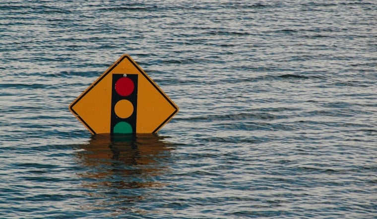
How To Prepare And What Is At Risk
Showers and slow-moving or training storms can drop heavy rain in a short time, which can cause creeks and low-water crossings to rise fast. The National Weather Service urges people to follow its flood safety guidance, including the familiar “Turn Around, Don’t Drown” rule, as outlined by the National Weather Service. Recent late-May flooding in Cocke County that shut down state routes and led to rescues is a reminder of how quickly things can turn dangerous, according to reporting from WVLT.
Officials say they will continue watching radar trends and river gauges and will post updates if warnings are issued or roads are closed. Residents are encouraged to keep phones charged, avoid unnecessary trips through low-lying spots and follow directions from local emergency management and the National Weather Service.


