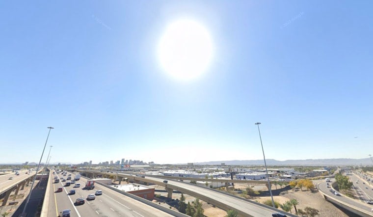
Thursday, June 11, 2026 — Phoenix started the day in the low 80s and is on track for a scorching afternoon, with a high near 107°F and mostly sunny skies. Overnight lows are expected to stay stubbornly warm, with many valley spots barely dipping below about 80°F into the weekend. Light west-southwest breezes will offer limited relief as rising humidity makes the nights feel especially sticky.
Afternoon Heat and Breezes
The National Weather Service is calling for a high near 107°F on Thursday, June 11, 2026, under mostly sunny skies with west-southwest winds generally 0–10 mph. Late-afternoon and evening gusts up to roughly 20–25 mph are possible, mainly near higher terrain and the far western desert fringes. Forecasters have outlined a widespread Moderate Heat Risk, with isolated pockets of Major Heat Risk possible through early next week.
Warm Nights and Small Storm Chances
Overnight lows will run warmer than normal, generally from the upper 70s to the mid-80s on Friday, June 12, 2026, as dew points climb into the 50s and low 60s. A slight chance of isolated showers and thunderstorms enters the picture as early as Friday morning and again during the overnight hours into the weekend, with the better chances focused over Arizona’s higher terrain. Any storms that do develop are expected to remain isolated and could bring dry lightning and gusty outflow winds rather than widespread heavy rain.
Plan Ahead
If you need a cool spot, the City of Phoenix lists cooling centers and heat-relief sites, and you can call 2-1-1 for transportation information or current hours. Avoid strenuous outdoor activity during peak afternoon heat, drink plenty of water, check on elderly neighbors and pets, and try to shift work or exercise to early morning or evening when possible. If someone shows signs of heat illness, move them into shade and seek immediate help.


