Raleigh kicked off Monday on the gray side, sitting near 70°F before sunrise at Raleigh–Durham International Airport, with southwest winds and clear visibility. A fast-moving cold front is sliding through today and will spin up a narrow band of mostly spotty showers and a few isolated thunderstorms, pushing afternoon highs to around 88°F. Most neighborhoods will only see quick, light rain if anything at all, with new rainfall totals expected to stay under a tenth of an inch where showers do land.
Where Rain Is Most Likely
The best odds for measurable rain line up south and east of the Triangle, down into the Sandhills and across the Coastal Plain, where higher humidity will help support heavier coverage and any thunderstorms. Forecasters have trimmed overall rain chances for central North Carolina, and much of the Triangle is now expected to stay dry or only see a stray shower during the afternoon. For the latest briefing, check the National Weather Service Raleigh office.
Week Ahead: Cooler Then Hotter
Once the front pushes through, look for a short-lived cooldown Tuesday into Wednesday with highs in the 70s and breezy northeast winds, before a quick rebound into the upper 80s and low 90s by late week and the weekend. Today's update tightens the timing and leans even more toward dry weather dominating after the front moves offshore. For an earlier look at how this pattern set up, see Monday storms lurking nearby.
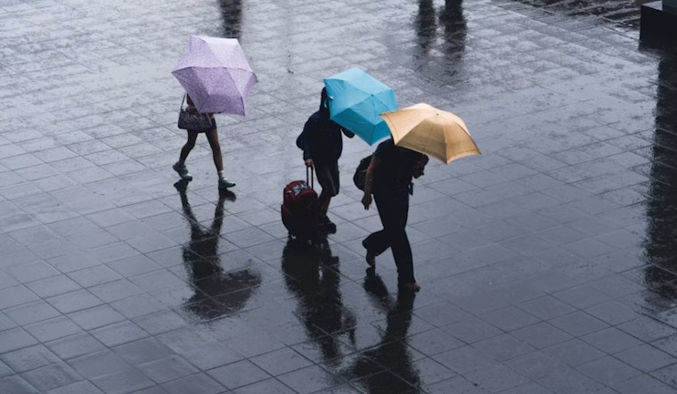
Impacts And Tips
Commuters this afternoon may run into only brief, localized slowdowns in the southern and eastern suburbs, while most of Raleigh should dodge anything more than a fast shower. If your plans take you toward the Sandhills, it is worth tossing a light rain jacket in the car, but do not expect soaking rain, since totals will be minor and will not do much to chip away at ongoing dry conditions. With seven-day rainfall expected to remain very low, it is still a good idea to follow any local water-use guidance and keep conservation in mind.


