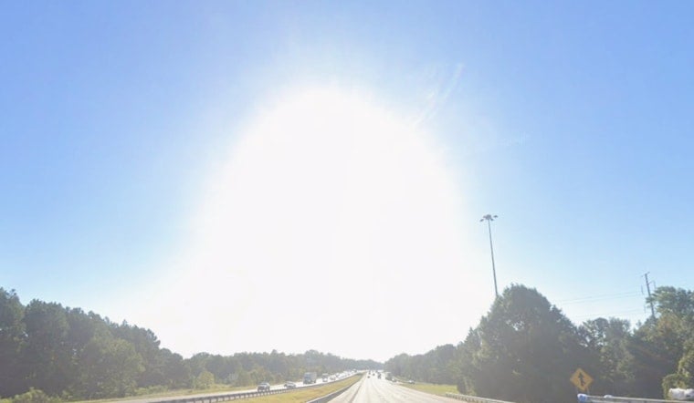
Sunday, June 7, 2026, started warm in Raleigh, with mostly sunny skies and temperatures already in the low 70s near Raleigh‑Durham International Airport. By this afternoon, the sun is expected to crank those readings into the mid 90s, with most neighborhoods topping out near 95°F and sidewalks turning to griddles for the midday commute.
Afternoon Heat
The hottest stretch should run from about 1 to 5 p.m., with southwest winds around 6 to 9 mph helping to nudge temperatures upward. According to the National Weather Service, highs today should land near 95°F, and most of the area is expected to stay dry through the day.
Monday Storm Chances
A weak front arriving Monday, June 8, 2026, is set to bump up the odds of scattered, mostly afternoon storms, mainly across the Sandhills and the southern Coastal Plain, with roughly a 20% chance of measurable rain. We first flagged this setup in our June 5 preview, and the latest outlook now tightens the focus on Monday afternoon into early evening.
Late‑Week Heat Risk
After a brief cooldown on Tuesday, June 9, 2026, dangerous heat is forecast to build again on Wednesday, June 10, and peak Thursday and Friday, June 11 and 12, with mid to upper 90s likely across the Piedmont. The National Weather Service notes that experimental heat risk guidance shows a substantial chance of Major level heat impacts for parts of the region later in the week, so anyone without reliable cooling is urged to make a plan now rather than wait.
Common sense moves still count: avoid strenuous outdoor activity during the 1 to 6 p.m. window, drink plenty of water, and keep tabs on elderly neighbors and pets. If you can, shift outdoor events to the cooler morning or evening hours, and keep an eye on updated forecasts and any advisories that may be issued as the heat ramps up.


