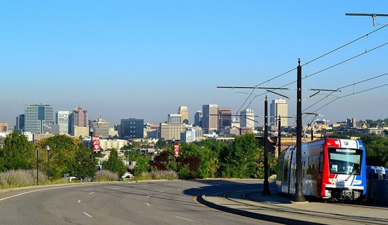
Salt Lake City woke up clear and calm on Saturday, June 13, with temperatures around 61°F at Salt Lake City International as of 5:35 a.m. MDT and a dry, blue-sky day on tap. Expect plenty of sunshine with a high near 86°F and north-northwest winds that will pick up through the afternoon. While the Salt Lake Valley should stay mostly dry, forecasters have posted a Fire Weather Watch for parts of southern Utah from noon through this evening as storms build to the south.
What To Expect This Afternoon
Plan on sunny skies and highs near 86°F across the valley, with winds generally running 2 to 9 mph and the potential for higher gusts later in the day. Breezy conditions are most likely around the airport and along the foothill benches during the evening commute, which can leave outdoor debris and yardwork feeling extra dry and easier to ignite. If you are planning late outdoor plans, keep an eye on those evening gusts.
Southern Utah Thunderstorms And Dry Lightning Risk
Farther south, moisture pushing north into southern Utah will fuel high-based showers and dry thunderstorms Saturday afternoon into Sunday. Many of these storms are expected to produce lightning with little wetting rain, which raises the risk of dry lightning strikes and gusty outflow winds that can spark new fires. Forecasters still see some uncertainty in how widespread the lightning will be. The National Weather Service discussion and watch information break down the threat in more detail.
Heat Returns Next Week
High pressure is expected to build into the Great Basin late this weekend, which will nudge valley temperatures into the low 90s by Tuesday, June 16, then keep readings near the low 90s through Thursday, June 18. Forecasters note that the mix of hot, dry air and gusty northwest winds by midweek will bump up fire danger across many valleys, with HeatRisk values sliding into the moderate range. If you have outdoor plans, keep them flexible and make sure to hydrate if you will be active outside next week.
Be Firewise
With low humidity and warm temperatures in place, this is not the time to light up open burns or recreational fires in high-risk areas. Even a backyard debris burn can turn into a problem once gusts kick in. Check local burn rules and restrictions before you set anything ablaze, and review guidance on open burning and permits from the Unified Fire Authority.
Quick Update And Background
This north-south split in the forecast first popped up in a June 9 outlook. Today’s update adds the Fire Weather Watch and the short-term thunderstorm threat for southern Utah. For a refresher on that earlier setup, see our Hoodline coverage of the cool north, fire fears south.


.jpg)