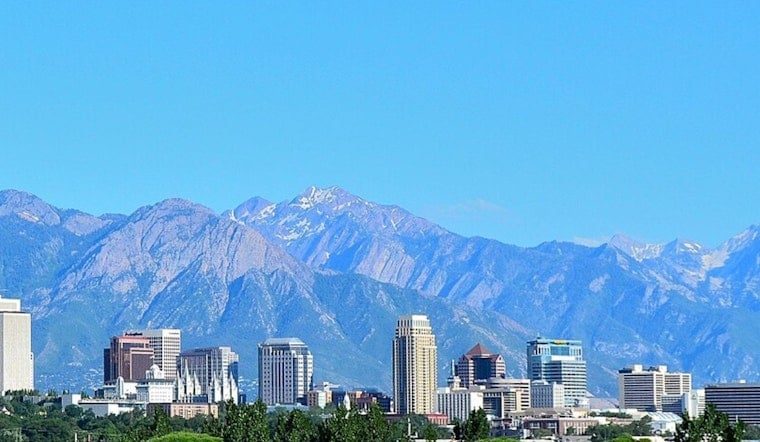
Salt Lake City is waking up on the cool side this Thursday, June 11, with temperatures hovering around 48°F at Salt Lake City International while the sun does its thing. By this afternoon, that bright blue sky should help nudge the high to about 76°F. The valley stays dry and mostly sunny through the weekend, but the real story kicks in next week, when a stronger warmup is expected to make afternoons feel noticeably hotter and nights slower to cool.
Today And Tonight
Today stays sunny with a high near 76°F and light northwest winds around 3 to 7 mph. Tonight will be mostly clear with a low near 53°F, with some valley spots hanging in the mid-50s. No measurable rain is expected through Thursday, according to the National Weather Service.
Warming Trend Next Week
Temperatures climb Friday and into the weekend, with highs around 87°F on Friday and near 88°F on Saturday before a mild dip on Sunday. By Tuesday, guidance pushes highs into the low 90s, and some runs show the valley reaching the mid-90s by Wednesday, June 17. That sets up a multi-day warm spell that could strain cooling resources. Forecasters say the combination of dry afternoons and limited overnight relief will make the heat feel more persistent.
Plan Ahead
With low humidity and no widespread rain in the forecast, afternoons will stay dry and nights will be slow to cool. Over several hot days in a row, that pattern can increase heat stress. There are no active heat warnings for the Salt Lake Valley this morning, but forecast discussions urge residents to keep an eye on conditions and prep for higher temperatures. Check the National Weather Service for updates, try to move strenuous work to the morning or evening, stay hydrated, and check on neighbors who may not have reliable access to cooling.


