San Antonio wakes up mostly cloudy and plenty sticky this morning, with temperatures around 75°F and dew points near 73°F. A brief shower or thunderstorm is possible before 7 a.m. Before long, clouds should break for partly sunny skies and a high near 90°F, with heat‑index values approaching about 101°F this afternoon.
Rain chances stay on the low side across most of the metro, around 20% this afternoon, with better odds mainly east of the I‑35/I‑37 corridors. The local National Weather Service office has allowed a Flood Watch to expire as heavy‑rain concerns shift north, but it cautions that any storm that does form could still drop heavy downpours and trigger localized flooding, so stay weather aware, according to the National Weather Service Austin/San Antonio.
Tonight stays mostly cloudy with a low near 76°F and a slight chance of showers and thunderstorms between about 10 p.m. and 1 a.m., with south‑southeast winds at 5–10 mph. Sunday keeps the muggy theme going with a high near 91°F and gusts up to around 20 mph in spots. Looking ahead, the extended outlook shows a warming trend with mostly dry conditions next week, according to the National Weather Service Austin/San Antonio.
What To Expect
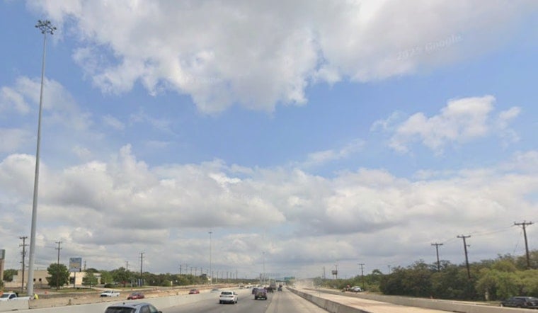
If you are driving this morning, leave extra room near low‑water crossings and keep an eye out for lingering standing water. Yesterday's downpours left some streets impassable in spots and turned commutes into a slow crawl; our earlier coverage documented the flash‑flooded streets and traffic mess. Check out the commute chaos coverage for live‑camera links and local agency guidance.
Later in the week, heat becomes the headline. Highs are forecast to climb into the low‑to‑mid 90s by Wednesday and Thursday, with a peak near 96°F on Friday. If you need a cool spot, the City of San Antonio posts cooling‑center locations and heat‑safety resources online, according to the City of San Antonio.


