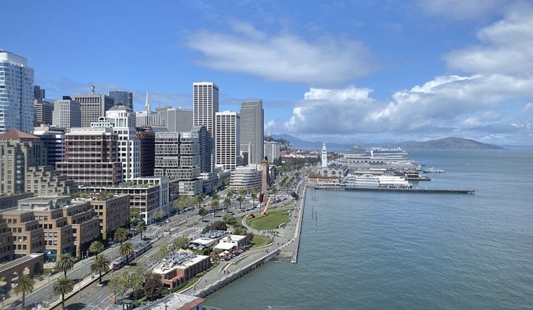
San Francisco woke up under a cool gray blanket today but the real trouble is at the waterline. Inland highs are expected to hover near 70°F with a breezy west-southwest wind along the shore, while the National Weather Service keeps a Coastal Flood Advisory and a Beach Hazards Statement in effect through 3 AM on Wednesday.
After the morning fog burns off, afternoon sun should return with highs near 70°F and west-southwest winds of 5 to 13 mph, gusting up to 18 mph in exposed spots. According to the National Weather Service San Francisco, abnormally high tides could push water to about 2.0 feet above normal in low-lying shoreline and bayshore areas, which means flooded parking lots, parks and a few vulnerable roads are very much on the table.
Foggy Mornings, Sunny Afternoons
Marine stratus will cling to the coast in the early hours, then mix out to sunshine inland by late morning. It is that classic June setup, with cool beaches, milder inland temperatures and afternoon breezes expected to hold through midweek.
Beach And Bay Hazards
The beach hazards statement calls out sneaker waves, strong rip currents, and large breaking waves that can surge much farther up the sand than a regular average beach day might expect. The Weather Service is blunt about it, urging people to stay off jetties, piers and rocks and to NEVER turn your back on the ocean, while noting that isolated road closures are possible, according to the National Weather Service.
What To Watch
High tides are expected to peak tonight around 11:10 PM and then again near midnight into Tuesday. Exact timing can shift by roughly 90 minutes up and down the coast. If you live in or commute through low-lying bayshore neighborhoods, secure anything stored at ground level and steer clear of driving through standing water, no matter how shallow it looks.


