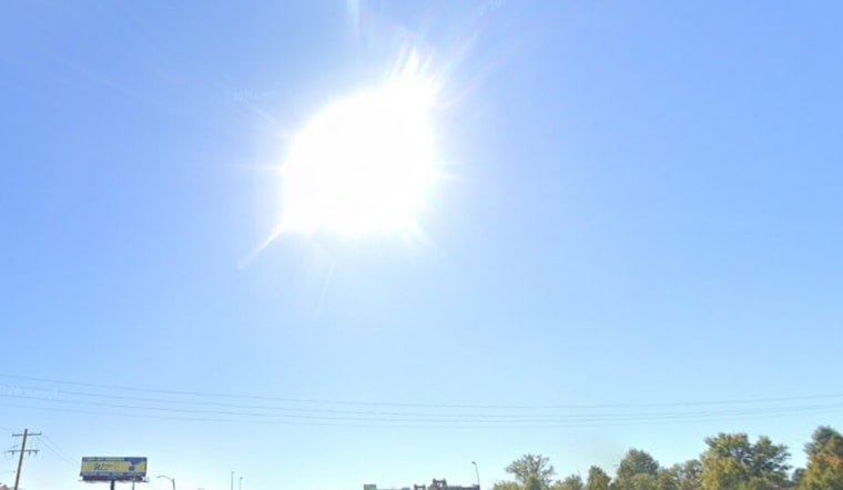
St. Louis is catching a breather from the early-summer heat on Sunday, June 14, 2026, waking up to cooler, breezy conditions and partly cloudy skies. Morning temperatures sit in the low 70s, with the afternoon high expected to top out near 78°F under northwest winds of 8 to 14 mph and gusts that could reach about 23 mph. A few showers and thunderstorms are possible before 9 a.m., but the rest of the day is expected to be mostly dry and partly sunny. By tonight, things calm down noticeably with a low near 58°F.
Today’s Commute: Gusts and a Few Showers
Commuters can expect a blustery ride as any lingering light rain moves out and clouds gradually thin during the afternoon. According to the National Weather Service, the chance of measurable rain is around 30 percent this morning, with winds easing after sunset. If you have lightweight outdoor furniture or decorations, it is a good idea to secure them before those early-day gusts kick in. For more on the late-night storms that swept through, check out our earlier coverage.
Midweek Storms Could Be Strong
Warm, muggy air is set to return on Tuesday, June 16, 2026, bringing a chance of afternoon showers and thunderstorms. The most active stretch looks to be Wednesday into Thursday, June 17 to 18, 2026. Forecasters say that the Wednesday to Thursday window carries the best potential for organized storms that could turn strong, with locally heavy rain and damaging gusts possible. Wednesday is expected to be the hottest day of the week, with highs near 90°F, before a front pushes cooler air back into the region. Residents are advised to keep an eye on updated forecasts and any watches that may be issued in the middle of the week.
Weekend Plans and Juneteenth
Juneteenth on Friday, June 19, 2026, is currently projected to be mostly sunny, with a slight early chance of showers and a high near 84°F. The weekend beyond looks to trend warm and mostly dry. If you have outdoor plans later in the week, consider a backup option for the midweek period and check the latest forecast before heading out. Local transit and event organizers will post changes if conditions require it, so keep an eye on the National Weather Service and other local outlets for updates. Staying weather-aware and keeping phones charged will help ensure you get any warnings that may be issued.


