New Yorkers are waking up to clear skies and comfortable low 70s on Sunday, June 14, 2026, before the city heats up into the low-to-mid 80s this afternoon. Outdoor plans are in good shape through most of the day, but a strong cold front sliding east tonight could fire up strong to severe thunderstorms after sundown. Atlantic ocean beaches are dealing with a high rip current risk, and a few low-lying coastal spots could see minor tidal flooding around this evening's high tides. If you have plans tonight, keep an eye on the sky and be ready to head inside.
Afternoon Heat, Evening Storms
Sunday's high should land near 84°F in the city, with southwest winds around 5 to 18 mph and gusts picking up along more exposed shorelines. The prime window for the nastier storms runs from late afternoon into the evening, roughly 4 p.m. to 10 p.m. Sunday, June 14, 2026, as the cold front moves in and winds shift overnight. If storms get their act together, damaging wind gusts are the main concern, while hail and widespread flooding look less likely, according to the National Weather Service.
Severe Threat Window And Travel Impacts
The Storm Prediction Center has much of the tri-state area sitting in a slight risk for severe thunderstorms, with far eastern sections under a marginal risk, which means isolated severe cells are still on the table. Any storms that pop could bring brief heavy downpours and gusty winds that knock down visibility and slow ferries, buses, and flights. Airports such as JFK may see some strong, occasional gusts Sunday night. Before you head out this evening, check the latest convective outlooks from the Storm Prediction Center.
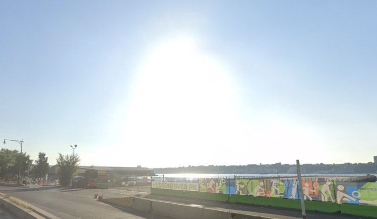
Beaches, Tides And Boating
A high rip current risk is posted for Atlantic-facing ocean beaches today, and Small Craft Advisories are expected on many local waters by midday. Evening high tides combining with onshore winds could nudge water levels into the minor-flood range in vulnerable areas such as the south-shore back bays of Nassau County and parts of coastal Fairfield County, with coastal flood advisories up for select locations. Boaters are better off delaying nonessential trips, and swimmers should stay near lifeguards, per the National Weather Service.
How To Prepare
Have a simple plan ready to move indoors if storms start pushing in. Bring in lightweight outdoor furniture, keep a flashlight where you can actually find it, and budget extra time for any evening commute. At the shore, lifeguard flags and local advisories will be your guide on beach safety. For more background on the setup we published yesterday, see our setup we published yesterday. Keep local alerts turned on and check official updates if the weather starts to turn.


