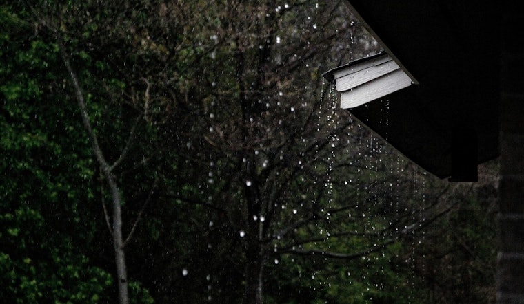
Honolulu is waking up to a sticky start Wednesday, with temperatures sitting near 74°F at the airport and light east‑northeast breezes around 5 mph barely cutting the humidity. A few isolated showers could drift through before midday, but most spots should trade morning clouds for afternoon sunshine and a high near 86°F. As the land heats up, afternoon sea breezes will push more clouds over interior and mauka slopes, where the usual spotty downpours over higher terrain are most likely. Overnight, it stays warm and humid with lows in the mid‑70s.
What To Expect Today
Isolated rain showers are most likely before noon, then skies brighten for most of the island with east‑northeast winds of about 5–12 mph and a roughly 20% chance of rain as temperatures climb toward 86°F. As trades weaken during the day, local sea breezes form and focus clouds and brief showers over interior and mountain areas rather than the coasts. Tonight, lows should slip to around 76°F, with spotty showers lingering into the evening, according to the National Weather Service Honolulu.
Coastal Conditions And Surf
The High Surf Advisory was canceled this morning, but forecasters are already watching the next swell. Another moderate south‑southwest swell is expected to fill in tonight and peak on Thursday, June 18, which could bring elevated surf back to south‑facing shores. That means dangerous shore break and strong currents at some beaches remain a concern, and lifeguards have been urging extra caution during recent swell events. If conditions worsen again, the advisory may need to be reissued, so it is worth checking local surf updates before heading out, as reported by Hawaii News Now.
Looking Ahead
A weak trough will drift north through Friday and briefly bump up shower chances from island to island before a more typical trade‑wind pattern returns late this weekend. Saturday and Sunday should warm into the upper 80s, with east‑northeast trades returning and gusts possible. Saturday's forecast even notes gusts up to 21 mph in some lee spots. That shift should keep most of the afternoon convection tied to windward slopes and leave many leeward coasts on the drier side. If you are planning outdoor events, mornings and early evenings look like the most stable windows.
Plan Ahead
Bring a light rain layer if you are heading inland, since quick showers can still pop over mauka trails and mountain parks. For ocean plans, stick with guarded beaches when you can, talk to lifeguards about currents, and avoid standing on coastal rocks during sets because conditions can change quickly. Drivers should be ready for brief heavy downpours that can cut visibility on mauka roads. For the latest details, keep an eye on updates from the National Weather Service and check in with local lifeguard stations if the coast is on your agenda this week.


