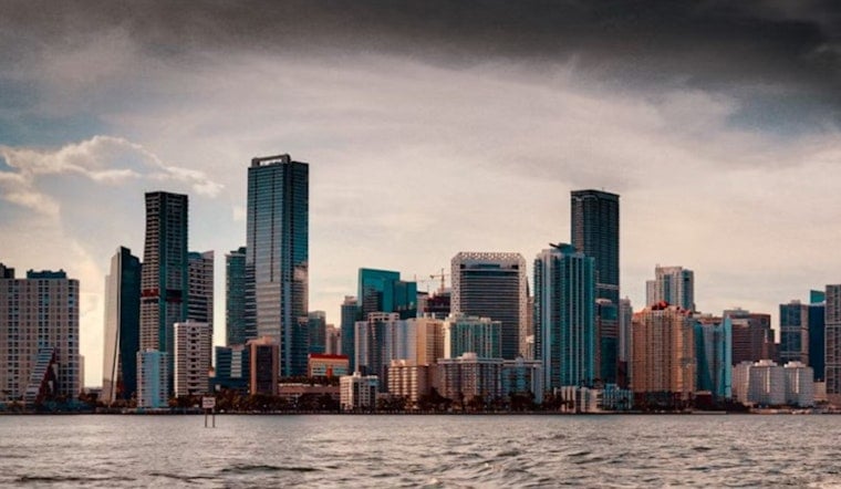
Sunday morning, June 14, 2026, Miami woke up to a classic summer combo: clear skies, thick air and temperatures already in the low 80s by sunrise. Around 5:35 a.m. at KMIA, the thermometer hovered near 80°F and dewpoints were high enough to make it feel sticky before breakfast. By this afternoon, highs are expected to reach around 89°F, with heat-index values likely pushing into the 100 to 105°F range.
Afternoon Storms And Flooding Risk
Scattered showers and thunderstorms are on track for Sunday afternoon into the early evening, with most of the action expected after about 2 p.m. Any individual storm cell could deliver a quick burst of heavy rain and gusty winds, the kind that can flood low-lying streets and overwhelm poor drainage in a hurry.
Forecasters note that dewpoints in the mid to upper 70s mean uncomfortable heat will be part of the deal along with the storms. The National Weather Service in Miami warns that the area faces a combined risk from heavy rain and dangerous heat on Sunday, and has placed the region in a marginal risk category for excessive rainfall.
Heat Safety And Cooling Centers
With heat-index values potentially climbing into the 100 to 105°F range, anyone who is elderly, dealing with illness or working outside should take it slow, drink plenty of water and find air conditioning during the peak afternoon hours. Miami-Dade County lists staffed cooling centers and public libraries that serve as relief sites during extreme heat; locations and hours are available on the county's cooling-sites page, according to Miami-Dade County.
Coastal Tides And Boating
Late-morning high tides may produce minor coastal flooding along parts of Collier County and the mainland Florida Keys (Monroe County), especially on the Gulf side. Boaters should keep an eye on water levels in marinas and slips as tides peak.
Offshore seas are generally expected to stay low, although scattered thunderstorms this afternoon could kick up brief hazardous winds and choppy conditions that will be rough on smaller boats.
Tonight And The Week Ahead
Thunderstorm chances fade later Sunday night but return during the afternoon hours each day through midweek. High temperatures should hold close to 89 to 91°F, with overnight lows in the upper 70s to around 80°F.
If you have outdoor plans Monday or Tuesday, plan around the usual afternoon sea-breeze storms and stay mindful of the potential for localized heavy rain.


