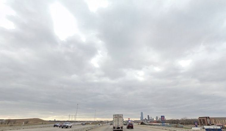
Mostly cloudy and about 70°F at 5:35 a.m. CDT Tuesday, June 2, 2026. A line of showers and thunderstorms is trekking across northern Oklahoma this morning, and scattered storms are on the table again this afternoon with a high near 88°F.
Morning Commute And Timing
Expect pockets of heavy rain and brief gusty winds to complicate the morning drive, especially north of downtown. The line should gradually weaken as it slides south, but leftover boundaries could spark new development later. Redevelopment is possible along those boundaries this afternoon, especially before 1 p.m. CDT Tuesday, June 2, 2026, according to the National Weather Service in Norman. Give yourself extra time, and be ready for quick-hitting downpours that can slash visibility.
Afternoon And Evening
Any storms that pop this afternoon will likely be isolated and short lived, but they could pack strong wind gusts and small hail. Coverage looks spotty rather than a full-on washout, with highs in the mid to upper 80s. Rain and storm chances hang around through the rest of the week into the weekend, with near-normal temperatures and the potential for several rounds of showers. For more on the heat that helped prime the atmosphere, see our Monday story broils as sleeper storm line targets overnight.
Plan Ahead
Bring a rain jacket and tie down or move any loose outdoor items before you head out, since brief heavy downpours can make roads slick and visibility poor. Keep alerts on your phone, have a quick shelter plan for evening events, and check radar before you travel. Easterly winds near 7 to 12 mph are expected tonight with occasional stronger gusts. If watches or warnings are issued, move into a sturdy building and follow local emergency guidance.


