Minneapolis is starting Tuesday, June 23, on a relatively calm note, with partly cloudy skies and temps in the mid‑60s. By later today, though, the main story turns to rain and thunderstorms. Highs should top out near 76°F this afternoon before slipping back into the low 70s as storms move through. Some of those storms could deliver pockets of heavy rain and brief gusty winds. If you have evening outdoor plans, it is a good day to have a Plan B.
Afternoon Into Evening: Plan for Storms
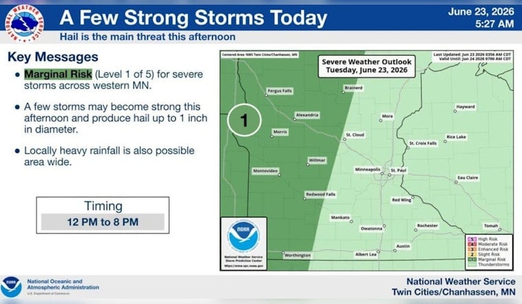
Showers could start to pop around midday, with the best shot at more organized showers and thunderstorms from about 1 p.m. into the evening. Rainfall totals of a quarter to a half inch are possible this afternoon, with heavier amounts tonight of about a half to three‑quarters of an inch where steadier bands set up. Winds will generally run from the south to south‑southeast at 5–10 mph, but stronger cells could kick out higher gusts and small hail. According to the National Weather Service Twin Cities, the risk of downpours and localized ponding on streets and in low spots is elevated this afternoon and evening.
Commute And Events
Drivers should be ready for a slower commute during the afternoon and evening rush as wet roads and brief heavy downpours cut visibility. Lightning could send people scrambling from ballfields, patios, and parks, at least temporarily. If you rely on buses or trains, expect the possibility of short delays or quick reroutes where storms hit hardest. For up‑to‑the‑minute service details, check Metro Transit. Build in a little extra travel time and keep a rain jacket or umbrella within reach.
Looking Ahead
Additional showers and a few thunderstorms are possible Wednesday, especially north of I‑94, before a bigger pattern shift later in the weekend. Forecasts point to a strong warm‑up Sunday into Monday, with highs jumping into the upper 80s to low 90s and humidity that could push heat indices above 100°F in some spots. That will follow a stretch of cooler days this week, so it might be wise to time any heavy outdoor work before the heat settles in. Keep an eye on updates from the National Weather Service Twin Cities, since the exact timing could change.
Safety Tips
When you hear thunder, head indoors and avoid standing under tall trees or near metal structures, and never drive through flooded roads, no matter how shallow they look. Secure loose patio furniture and other outdoor items, and keep flashlights and phone chargers handy in case of brief power outages. Stay tuned to local alerts and be ready to postpone or move outdoor events if storms start closing in.


