

























































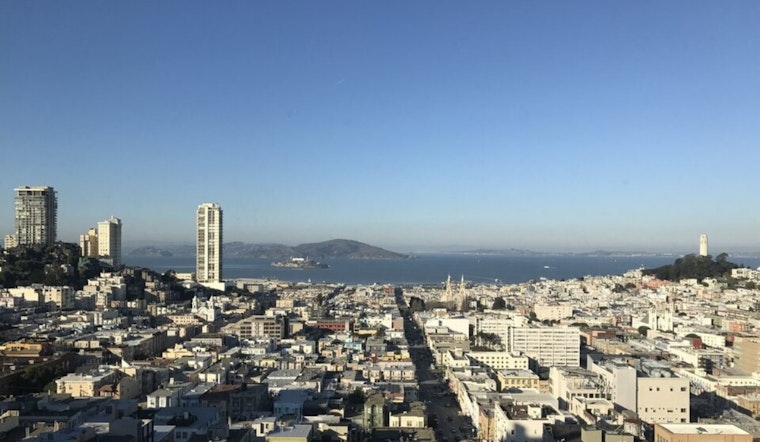
San Francisco gets a classic summer combo today, with plenty of sun, highs near 75°F, and a cool onshore breeze near the water, while inland pockets run warmer. Low-lying parking lots and shoreline roads should prep for minor ponding during late-night high tides, since a Coastal Flood Advisory is in place through 4 AM tomorrow. West-southwest winds will turn gusty in the afternoon, and elevated fire-weather concerns will hang on across the drier inland hills through Thursday.
Afternoon Winds Pick Up
By afternoon, winds pivot to the west-southwest at roughly 5 to 14 mph, with gusts that could reach around 22 mph in exposed spots and on bridge approaches. That means a blustery ride home for commuters and a solid chance of patio umbrellas or lightweight furniture taking flight if they are not tied down. Anyone planning to stroll the Embarcadero or other bayside promenades should bring a layer and make sure loose items are secured.
Coastal Flood Advisory And Tides
The Coastal Flood Advisory holds through 4 AM tomorrow, for bayshore stretches along San Francisco and San Pablo Bays, with up to about 1.5 feet of water above ground level possible in the lowest spots. That is enough to flood parking lots and trigger isolated road closures, according to NWS San Francisco. Move cars out of vulnerable coastal lots and do not drive through standing water, since those barricades are not just for decoration. For a deeper dive on the tide cycle and what to expect this week, check out our earlier explainer on this week's weird tides.
Heat And Fire Weather Inland
While most of San Francisco stays in the 60s to 70s, interior valleys and higher elevations have been running much hotter, and vegetation is drying out, so the forecast discussion flags elevated fire-weather conditions through Thursday. Heat advisories today are aimed at parts of inland Monterey County and the Salinas Valley terrain, though the city itself remains far milder. If you are heading for the hills, skip open flames, keep emergency devices charged, and watch for gusty, erratic winds near brushy slopes.
Boaters should pay attention to small-craft advisories, with choppy conditions expected into Friday, and shoreline travelers should allow extra time in case high tides force brief detours. Otherwise, enjoy the sunny afternoon, keep a light jacket handy for the breeze, and keep an eye on those late-night tides through Thursday morning.





