

























































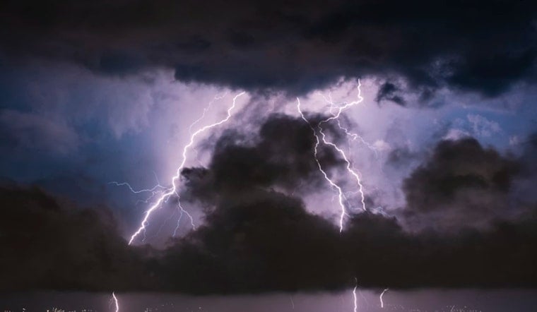
Strong thunderstorms tore across Anson and Richmond counties Sunday night, lighting up the sky and whipping up gusty winds that forecasters warned could knock down tree limbs and make travel hazardous. Doppler radar picked up at least one especially intense cell near Ansonville that marched east across the Piedmont through the evening. County emergency managers urged residents to hunker down, stay off flooded roads and steer clear of any downed lines while crews kept an eye on changing conditions.
Radar Tracked A Powerful Cell Near Ansonville
The National Weather Service in Raleigh issued a Special Weather Statement Sunday evening after Doppler radar spotted a strong thunderstorm over Ansonville moving east across the region. According to the National Weather Service, the storm was cranking out wind gusts up to 50 mph along with frequent cloud-to-ground lightning. The advisory specifically called out towns in the path, including Wadesboro, Ansonville, Polkton and Norwood, and said parts of central Anson and northwestern Richmond counties could be affected through 10:15 p.m.
Communities Named And Travel Cautions
Local bulletins and roundups ticked off a familiar list of communities in the storm's path, from Wadesboro and Ansonville to Mount Gilead and Lilesville, and warned that tree damage and spotty power outages were possible. As reported by the Raleigh News & Observer, forecasters told anyone caught outside to move into a sturdy building or an enclosed vehicle and to stay away from windows while the storms rolled through. The paper also repeated the standard bad-weather driving playbook for heavy rain: flip on your headlights, steer clear of flooded stretches of road and give emergency crews plenty of room to work if you come across downed trees or lines.
Lightning Risk And Safety
Lightning is no small footnote to summer storms. The National Weather Service estimates there are roughly 20 to 25 million cloud-to-ground lightning flashes across the United States each year, with about 20 fatalities annually. Per the NWS lightning safety guidance, bolts can strike as far as 10 miles away from a thunderstorm, which is why officials push the rule of waiting 30 minutes after the last rumble of thunder before heading back outside. They say the safest places during a thunderstorm are an enclosed vehicle or a substantial building.
Residents are being urged to stay tuned to local emergency channels and the NWS Raleigh office for updates if they live in or are driving through the affected counties. If you lose power or spot downed lines, officials say to assume those lines are live and to report outages to your utility. If you encounter flooded roads, turn around and find an alternate route and never try to drive through standing water. With forecasters warning that conditions could change quickly, checking local alerts before heading out Monday morning remains the safest bet.





