

























































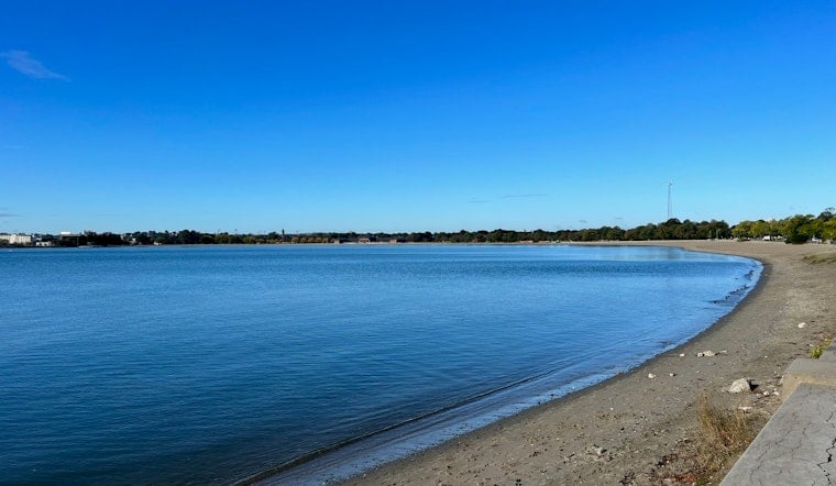
Boston’s waterfront is about to get a reality check. The U.S. Army Corps of Engineers is rolling out a draft blueprint this week that could steer as much as $10.5 billion into new coastal defenses, from floodwalls and surge gates to building retrofits and bigger stretches of waterfront green space. The plan sketches out options for shielding neighborhoods around Boston Harbor and kicks off a public comment window that runs into September. City officials say the goal is to avoid tens of billions of dollars in future damage, while waterfront property owners and neighborhood groups are already sharpening questions about where these defenses go and how they will look.
On Friday, July 24, the Army Corps is set to publish the Boston Coastal Storm Risk Management Feasibility Study and formally open a public comment period that runs through Sept. 18, according to the City of Boston. The city plans open houses and webinars this month so residents can study neighborhood maps and press officials directly. City leaders call this draft a major milestone on the way to a final study the partnership expects to finish by 2028.
What the draft proposes
The draft lays out a neighborhood-by-neighborhood toolkit that includes seawalls, floodwalls, surge gates, elevated harborwalks, pump stations and nature-based defenses, along with non-structural steps like retrofitting buildings and improving evacuation planning, according to the U.S. Army Corps of Engineers. The feasibility study will look at how those measures affect residents, transportation, cultural resources and ecosystems along Boston’s 47-mile shoreline, then recommend tailored combinations of actions for each coastal neighborhood. Engineers say they will weigh how well different options protect against storms against environmental, cultural and public access tradeoffs as designs get more specific.
Price tag and promised savings
Reporting by WCVB indicates that the Corps’ recommended packages could add up to as much as $10.5 billion. City materials summarized in the draft argue that the economics pencil out, pointing to projections that every dollar spent on protection could avoid several dollars in future losses. Planners and business groups counter that turning those projections into concrete and steel will require decades of steady public and private funding. Local work on how to actually pay for it is already underway, including a financial blueprint effort by the Boston Green Ribbon Commission.
What approval looks like
If a recommended plan moves ahead, it will have to clear Washington-level review and will likely need both congressional authorization and appropriations before any construction starts. The Corps’ current schedule points to a final Chief’s Report and related milestones in 2028, making this draft the crucial step that opens the door to federal funding eligibility, according to the U.S. Army Corps of Engineers. City officials say they will lean on the public comment period to push for designs that not only protect homes and jobs but also keep recreation and waterfront access in the mix.
How to weigh in
Residents can weigh in online through the City’s feedback form, email comments to [email protected], or mail written input to Mr. Todd Randall at U.S. Army Corps of Engineers, New England District, 696 Virginia Road, Concord, MA 01742-2751, according to the City of Boston. The city has also listed virtual office hours and neighborhood open houses where Corps and city staff will walk through maps and answer questions. The formal comment period closes Sept. 18 at 5:00 p.m., after which the Corps will review submissions and fold public feedback into its final recommendations.





