

























































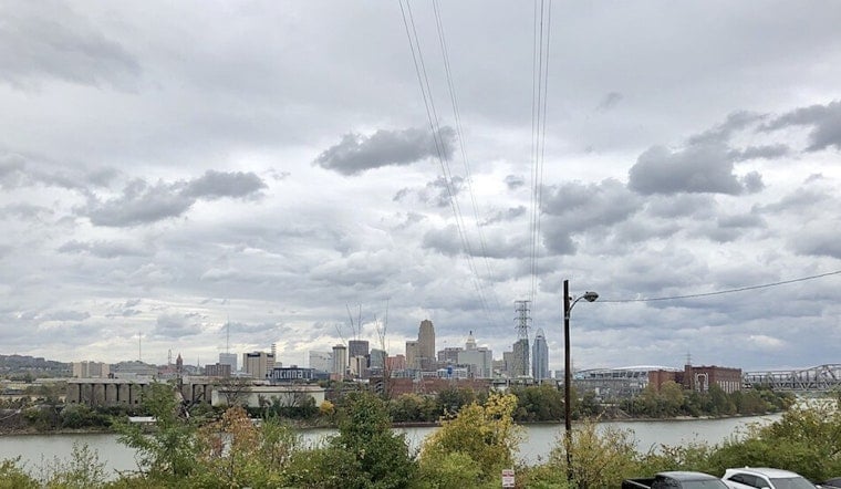
Today, July 18, is starting off hot and muggy in Cincinnati, with mostly clear morning skies and temperatures in the mid 70s. By afternoon, the heat cranks up into the low 90s, and the heat index slips into the low 100s before a cold front moves in and sparks scattered showers and thunderstorms. Storms are expected to fire after noon and expand in coverage through the evening, and a few could bring damaging wind gusts and brief heavy downpours that make the ride home a headache. If you have outdoor plans tonight, line up an indoor backup and keep phone alerts or a weather radio handy.
Afternoon Thunderstorm Risk
The National Weather Service says a cold front will sweep southeast across the region from this afternoon until tonight, helping storms develop late this afternoon and into the early evening. Forecasters note that most storms will look like typical summer downpours, but the strongest cells could produce damaging wind, frequent lightning and locally heavy rain. For a detailed breakdown of the setup and timing, see the latest discussion from the National Weather Service.
Heat, Cooling Centers and Tips
Before that front arrives, the heat will feel downright oppressive. Highs near 91 degrees and dew points in the low 70s will push heat index values into the low 100s. The City of Cincinnati lists cooling centers, open recreation centers, spraygrounds and pool hours for residents who need a break from the heat, and it reminds people to watch for signs of heat exhaustion or heat stroke. If you need a cool place to go or guidance on staying safe in the heat, check the resources from the City of Cincinnati.
Tonight: Showers And Thunderstorms Likely
Showers and thunderstorms are most likely tonight, with the chance of rain climbing into the 60 to 70 percent range and a low near 71. Heavier cells could drop a tenth to a quarter of an inch of rain in a short burst and send out wind gusts that briefly reduce visibility or knock down small branches. Keep an eye on local alerts and avoid driving through standing water. The National Weather Service will issue any watches or warnings if conditions ramp up.
Looking Ahead
Another front is expected by Tuesday, bringing additional chances for thunderstorms before somewhat cooler and drier air settles in for mid to late next week, with highs closer to the low 80s. That short cooldown will offer at least a brief break from several hot, humid days, so keep checking forecasts if you have outdoor events on the calendar later in the week.





