

























































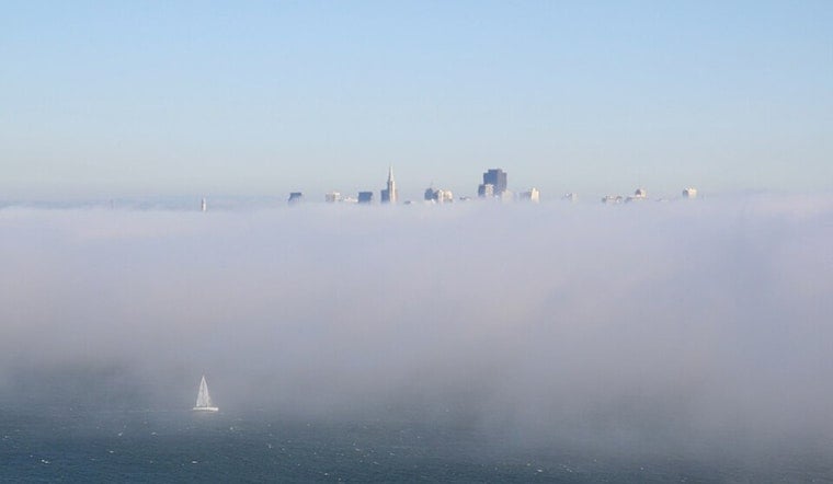
San Francisco woke up today to a cool marine layer, with temperatures hovering near 57°F and patchy fog in low-lying spots. The stratus is expected to retreat to the coastline by late morning, leaving sunny afternoons and highs in the low 70s across the city and the immediate Peninsula.
Afternoon Winds And Beach Hazards
Onshore breezes will pick up each afternoon and evening through the weekend, with west winds of about 7 to 16 mph and gusts near 24 mph in exposed locations. A Beach Hazards Statement runs from tomorrow morning through next Tuesday afternoon, as Hurricane Fausto generates a long-period southwest swell that will increase the risk of sneaker waves and strong rip currents. Breaking waves may reach up to 10 feet at some south- and southwest-facing beaches. Beaches most at risk include Ocean Beach, Pacifica, parts of Santa Cruz and Stinson, so stay off jetties, piers and rocks, and never turn your back on the ocean, according to the National Weather Service.
Plan For It
If you are heading to the coast this weekend, favor beaches with lifeguards and keep a wide berth from the waterline. Boaters and small-craft operators should expect choppy seas and heed posted advisories, and check local tide and surf forecasts before launching.
What To Expect This Week
Temperatures should remain near seasonal averages through early next week, with highs in the low 70s and overnight lows around the upper 50s, along with breezy afternoons. Gradual warming is possible later in the week, but the coastal swell and marine advisories will govern beach safety through next Tuesday.


