

























































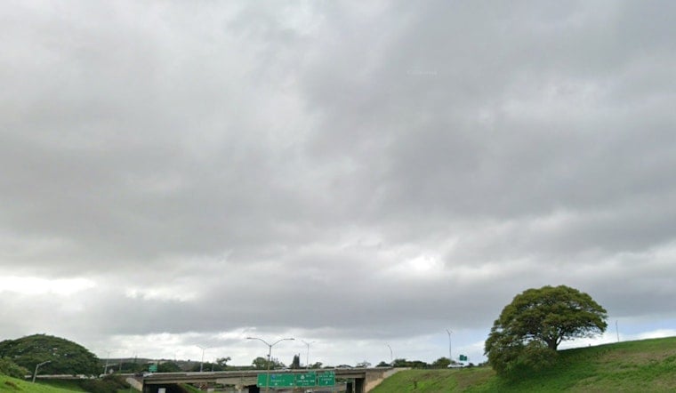
Honolulu is starting Tuesday, July 28, 2026, in full tropical mode: warm, muggy and unsettled. Scattered showers are in the mix with a daytime high near 87°F, while the afternoon heat index could climb to a sticky 95°F. Northeast trade winds are occasionally gusty, and quick-hitting downpours will crank up the humidity and briefly knock down visibility on main roads. Anyone with outdoor plans should plan on short, sharp bursts of heavy rain and blustery gusts into the evening.
Afternoon Showers And Rain Totals
Showers are most likely Tuesday afternoon across windward and mauka areas, where the chance of rain sits at 60 percent with northeast winds around 10 to 15 mph and gusts near 21 mph. New rainfall through Tuesday is expected to stay on the lighter side, generally under one tenth of an inch. Forecasters, however, are flagging Wednesday, July 29, for potentially heavier, localized totals of three quarters to one inch, with Wednesday night adding another half to three quarters of an inch in some spots. Those timing and accumulation details come from the NWS Honolulu.
Fausto North Of The Islands
Tropical Storm Fausto is forecast to pass north of the Hawaiian Islands from Tuesday into Wednesday, weakening before it makes its closest approach. That shift is expected to ease the broad trade winds while allowing stronger sea breezes to build, which in turn can focus heavier showers across leeward and interior zones. The National Hurricane Center continues to track Fausto and post regular advisories. Even small wobbles in the track could shuffle which islands see the heaviest downpours, so residents are urged to monitor updates over the next 24 to 48 hours and be ready for brief but intense showers wherever the sea breeze sets up.
Coastal Hazards And Boating
A High Surf Warning for east-facing shores is in effect through 6 PM HST Wednesday, July 29, with dangerous breaking waves and strong rip currents along exposed beaches. A Small Craft Advisory also remains up for many windward waters into early Wednesday morning. Mariners and recreational boaters are being urged to hold off on nonessential trips and make sure any loose gear is secured. For the latest marine warnings and surf guidance, check the NWS Honolulu.
How To Prepare
Drivers should build in some extra travel time for afternoon and evening commutes. Brief heavy showers can quickly slick up the roads and cut visibility, and low clouds could complicate things on mountain roads and popular hiking routes. Beachgoers should avoid exposed east shores while the warnings are active and follow lifeguard instructions closely. For background on yesterday’s ramp-up in swell and the trade-wind pattern setting the stage for this week, see rising surf and whipping trades.



