

























































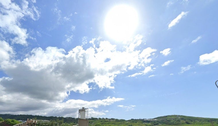
Honolulu is starting Monday, July 27, 2026, under partly cloudy skies and a warm, muggy feel, with a high near 86°F on tap. Scattered morning showers should clear to mostly sunny skies by midday, but brisk northeast trades, sustained around 15–18 mph with gusts into the mid 20s, will leave shorelines choppy and the afternoon commute on the blustery side. East-facing beaches are already seeing surf on the rise, with waves expected to build tonight and into Tuesday as a distant tropical cyclone inches closer.
Surf And Boating Hazards
A High Surf Advisory is in effect for east-facing shores through 6 PM HST Wednesday, July 29, with full-face sets of 10–14 feet possible. Lifeguards are warning of strong breaking waves and dangerous rip currents along exposed east shores. Small Craft Advisories remain posted for Maalaea Bay, the Pailolo and Alenuihaha Channels and several Big Island waters into this evening (Monday, July 27), with northeast winds around 25 knots creating hazardous conditions for small vessels, according to NWS Honolulu.
Fausto Track And Timing
Hurricane Fausto is forecast to pass north of the islands Tuesday into Wednesday (Tuesday, July 28 and Wednesday, July 29) and is expected to weaken to a tropical storm before its closest approach. Forecast models keep the center to the north of the state, but its long-period swell will push east-shore surf higher and could bring periods of heavier rain and pockets of stronger winds near the low center, according to the National Hurricane Center.
What To Do
Beachgoers should follow lifeguard instructions, stay away from unguarded or exposed beaches, and keep children well back from the water. Avoid entering the ocean when advisories or warning flags are posted. Boaters and harbor users are urged to delay nonessential trips, secure loose gear, and check in with local harbormasters. For more background on the incoming swell and yesterday’s conditions, see our coverage of how breezy trades whipped up surf ahead of Fausto.
When Conditions Should Ease
Forecasters expect trades to stay relatively active through the first half of the week while Fausto passes by to the north. A drier, breezy trade-wind pattern should return by Thursday as the system drifts westward away from the islands. This page will be updated if advisories change, with fresh guidance as the storm gets closer.



