

























































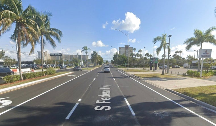
A serious crash investigation shut down a busy stretch of South Federal Highway in Pompano Beach on Tuesday afternoon, tying up traffic along the north-south route. Authorities blocked off the southbound lanes between Southeast 9th Street and Southeast 12th Street, and aerial footage later showed a badly mangled white car alongside a yellow tarp covering what appeared to be a body. Crime-scene tape encircled the area as first responders worked and drivers were warned to brace for delays.
Officials released few specifics, but the Broward Sheriff's Office confirmed that the southbound lanes between Southeast 9th Street and Southeast 12th Street were closed while deputies investigated, according to CBS Miami. The outlet's video shows the wrecked white vehicle and the tarp in the roadway, and authorities had not said when the highway might reopen. Drivers in the area were urged to use alternate routes while crews processed the scene.
Federal Highway's recent crash history
U.S. 1, known locally as Federal Highway, has seen multiple serious collisions in the past year, including a December crash in Pompano Beach that killed three teenagers, as reported by the Miami Herald. That deadly wreck and other incidents have kept the spotlight on speeding, intersection design and pedestrian safety along the corridor. Residents and transportation advocates have repeatedly pressed for traffic-calming steps and infrastructure changes aimed at slowing vehicles and cutting down on severe crashes.
Investigators at the scene
Authorities stayed on scene into the evening and had not released the names of any victims or a confirmed cause of the crash. Broward Sheriff's Office detectives are leading the investigation and said more information would be shared when it becomes available. For now, local traffic alerts and law-enforcement channels remain the primary source for official updates as the inquiry continues.
Traffic impacts and what to expect
Drivers heading through Pompano Beach should be prepared for backups near the closure and consider using parallel routes such as Powerline Road or Dixie Highway to get around the scene. Local traffic alert systems and the sheriff's office social media feeds may provide real-time information as the investigation moves forward. This story will be updated when officials release additional details.



