

























































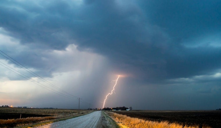
Nashville is waking up warm, sticky, and on notice. It is a muggy, partly cloudy morning in the city, sitting around 73°F at Nashville International Airport, but the calm start is not expected to last. A Flood Watch remains in effect through 6 p.m. CDT on Sunday, July 12, 2026, with rounds of showers and thunderstorms expected to fire up by late morning and roll through the afternoon and evening. Any slow-moving storm could dump heavy rain in a hurry. Highs should top out near 84°F with light winds, and anyone banking on outdoor plans later today should have a rain backup ready.
Afternoon Showers And Timing
Storm chances ramp up quickly as the day goes on. Showers and thunderstorms are likely from late morning into mid-afternoon, with the most widespread activity expected between about 11 a.m. and 3 p.m. Forecast rain chances jump into the 70–80% range, and new rainfall totals of roughly a quarter to half an inch are possible today. The hourly outlook shows the highest probabilities around midday, with multiple waves of storms through the evening that will only add to the local flood risk, according to NWS Nashville.
Flooding Risk And Safety
After recent storms, area soils are already pretty saturated, which means it will not take much additional rain to trigger trouble. Several rounds of heavy downpours this weekend could lead to flash flooding in low-lying neighborhoods, along creeks, and on streets that do not drain well. Residents in flood-prone spots should move valuables out of basements ahead of the heaviest rain, and no one should try to drive through standing water; even a few inches can stall or sweep away a vehicle. Metro officials are also urging people to sign up for local emergency alerts and to keep nonessential travel to a minimum while storms move through, per Metro Nashville OEM.
Commute And Planning
Drivers should be ready for ponding in low spots and slower-than-usual commutes this afternoon, so building in extra travel time is a smart move if you have appointments or errands. Tonight looks mostly cloudy with a low near 70°F and about a 50% chance of showers, which means weekend outdoor events may still need a Plan B. Keep checking the forecast through the day and stay tuned to local alerts for any additional watches or warnings that might be issued.





