

























































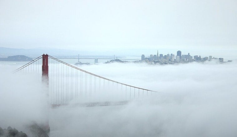
San Francisco eased in today under a familiar summer blanket of fog, with temperatures near 53°F at SFO and humidity cranked up along the bayshore. Low clouds and pockets of drizzle will cling to the coast through midmorning before giving way to some afternoon sun. Inland and around the northern bay, highs should top out near a seasonable 71°F. If you are planning a waterfront stroll tonight, factor in higher-than-normal night tides and possible coastal detours.
High Tides And Minor Flood Risk
A Coastal Flood Advisory is in effect through 4 AM next Thursday, July 16, and low-lying parking lots, parks and shoreline roads could see minor flooding during late-night high tides, according to the National Weather Service. The San Francisco tidal gauge is expected to spike roughly 1.6 to 1.7 feet above normal on several nights this week, increasing the odds of isolated road closures and shoreline ponding, based on tide predictions from NOAA Tides & Currents. Those numbers fold in both the predictable astronomical tides and a bit of extra height from long-term sea-level rise and thermal expansion, so if you usually park close to the water, have a backup spot in mind.
Afternoon Winds Pick Up
Clouds should thin to partly sunny skies by late morning, with afternoon highs near 71°F for most spots and upper 60s right at the coast. West-southwest winds will run around 6 to 13 mph, with gusts up to about 18 mph in the afternoon, which will leave piers, bridge crossings and other exposed areas feeling brisk. Drivers early in the day should be ready for sudden drops in visibility, as patchy fog and light drizzle hang on near the shoreline.
What To Expect This Week
Forecasters say a push of monsoonal moisture arriving tomorrow into next Monday could bring a low-confidence chance of high-based showers and thunderstorms, mainly inland, late this weekend into early next week. Any storms that do develop are expected to be brief and mostly elevated rather than soaking. Temperatures climb as the pattern shifts, with inland highs jumping into the 80s and 90s while coastal neighborhoods hold in the 60s to 70s. That warmup will bring back Moderate HeatRisk for interior locations and higher terrain next Monday and Tuesday, according to the National Weather Service. If you have outdoor plans away from the coast, keep tabs on the evolving forecast: dry lightning and gusty outflow winds would be the main issues if storms manage to fire.
Safety Tips
Move vehicles out of known trouble spots and low-lying lots before tonight's higher tides, and skip driving through any standing water, since seemingly shallow puddles can hide deeper and faster-moving hazards. Stay well back from jetties, piers and rocks when the surf is running high, and if you are heading inland during the hotter stretch, bring water and carve out time for shade breaks during the afternoon. Check local alerts and up-to-date tide predictions before you head to the coast and leave extra wiggle room in your schedule in case a favorite route is briefly underwater.





.jpg)