

























































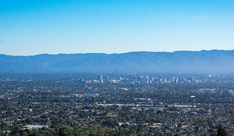
San Jose wakes up under a gray, foggy lid today as the marine layer hugs the Bay and coast. Morning temperatures are in the mid-50s near the shoreline, with inland spots expected to warm into the mid to upper 70s this afternoon once the sun finally chews through the low clouds.
Afternoon Gusts
North-northwest winds will pick up this afternoon to around 1–12 mph, with gusts possibly reaching the upper teens, so exposed stretches and bike commutes could feel pretty blustery through the late afternoon and evening. The breeze should calm down overnight as the marine layer redevelops along the coast and Bay.
Beach Hazards And Marine Advisories
A Beach Hazards Statement stays in effect through Friday afternoon, as a long-period southwest swell brings an elevated risk of sneaker waves and strong rip currents to Pacific-facing beaches. Several Small Craft Advisories are also posted for coastal waters, and south- and southwest-facing beaches, jetties, and piers are especially dangerous, so officials urge people to stay off rocks and out of the surf. According to the National Weather Service, breaking waves could reach around 10 feet in spots and sneaker waves can arrive without warning.
Warming Later This Week
Temperatures will trend warmer by midweek, with highs near the mid-80s by Thursday and Friday and upper 80s inland over the weekend, while coastal and Bay locations stay cooler under the nightly marine layer. Nights remain mild, mostly in the mid-50s near the water.
Safety Tips
If you are heading to the beach, stick to guarded areas, stay off jetties and rocks, and never turn your back on the ocean, since sneaker waves can surge well above the usual shoreline. For rescue and escape guidance, see the rip current safety advice from the National Weather Service.





.jpg)