

























































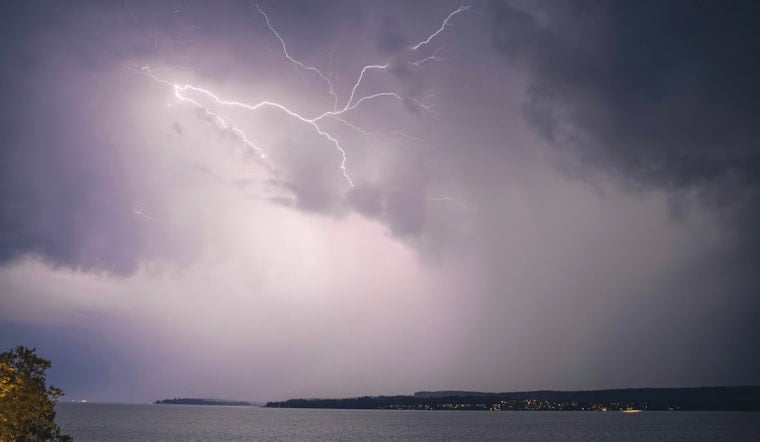
Central Georgia spent Sunday afternoon on edge as severe thunderstorm warnings lit up Monroe and Greene counties, with radar and spotter reports flagging storms capable of damaging wind gusts and hail. Emergency officials around Forsyth and Greensboro urged residents to get indoors and stay there while the rough weather crawled east at roughly 20 mph.
According to CBS News Atlanta, a warning for southern Monroe County held into the mid-afternoon, with radar indicating wind gusts up to 60 mph and hail around the size of a nickel. The outlet reported a separate warning was also in place for central Greene County, where storms were tracking near Veazey, just outside Greensboro.
National Weather Service Situation Update
The National Weather Service office in Peachtree City warned that isolated to scattered thunderstorms could linger through daybreak Sunday before becoming “numerous to widespread” in the afternoon. The agency’s online hazard page listed active alerts across the region and encouraged anyone who spots wind damage, hail or flooding to report it to NWSAtlanta for ground-truthing of the radar data.
Where Damage Was Most Likely
Radar signatures and reports from trained spotters pointed to the nastiest cells sliding over Forsyth and then into nearby communities where damage to roofs, siding and trees was possible. Towns flagged as most at risk included Forsyth, Brent, Bolingbroke and Dames Ferry, according to CBS News Atlanta. In Greene County, locations under the gun included Greensboro, Reynolds at Lake Oconee, Liberty, Veazey and Carey.
Safety Tips And Outlook
Forecasters urged residents to have more than one reliable way to receive warnings, head indoors and stay away from windows, and never try to drive through flooded roads until the storms move on, guidance that came from the National Weather Service. The agency’s hazardous weather outlook, along with local reporting, indicated the severe threat could stretch and expand across both north and central Georgia into Sunday evening, according to the Cobb County Courier.





