

























































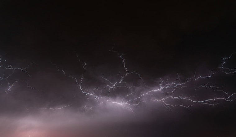
Strong thunderstorms barreled into Halifax and Edgecombe counties Monday evening, throwing down gusty winds, heavy rain and enough tree limbs to make drivers nervous. National Weather Service alerts lit up across the region as the line of storms marched through, briefly tangling traffic and prompting officials to urge people to hunker down. Motorists on stretches of I-95 were warned to brace for sudden blasts of wind and rapid drops in visibility as the cells sped past.
The National Weather Service office in Raleigh issued a special weather statement for the area, cautioning that wind gusts could reach about 50 mph and that “gusty winds could knock down tree limbs and blow around unsecured objects,” according to NWS Raleigh. Forecasters tracked the line on Doppler radar as it slid across northeastern North Carolina and urged residents to get indoors while the storms moved through.
An updated post from The News & Observer reported that the alert, which was in effect until 7:30 p.m., specifically included Halifax, Scotland Neck, Enfield, Whitakers, Hobgood, Speed, Leggett, Glenview and Tillery. The News & Observer also noted that the warning covered portions of Interstate 95 between Mile Markers 160 and 154, a stretch officials said could complicate evening commutes.
Where storms were tracking
“At 6:30 p.m., Doppler radar tracked strong thunderstorms from 6 miles southwest of Halifax to near Scotland Neck. Movement was southeast at 15 mph,” The News & Observer wrote, citing the National Weather Service. With that forward push, pockets of gusty wind and heavy rain were expected to roll into nearby towns and along the affected highway corridors in short order.
Safety steps to follow
The National Weather Service’s lightning-safety guidance points out that lightning hits the United States roughly 25 million times each year and kills about 20 people annually. It advises heading for a sturdy building or a hard-topped vehicle when storms fire up. For this round of storms, the NWS recommended staying away from corded phones and plumbing once indoors and waiting 30 minutes after the last clap of thunder before heading back outside, according to NWS lightning guidance.
What to watch next
Forecasters said the hot, unstable pattern would keep storm chances elevated into Tuesday, with more afternoon and evening cells possible around the region, according to WBTV. Residents are encouraged to keep phone alerts switched on and to check the National Weather Service in Raleigh for any new watches or warnings before hitting the road.



