

























































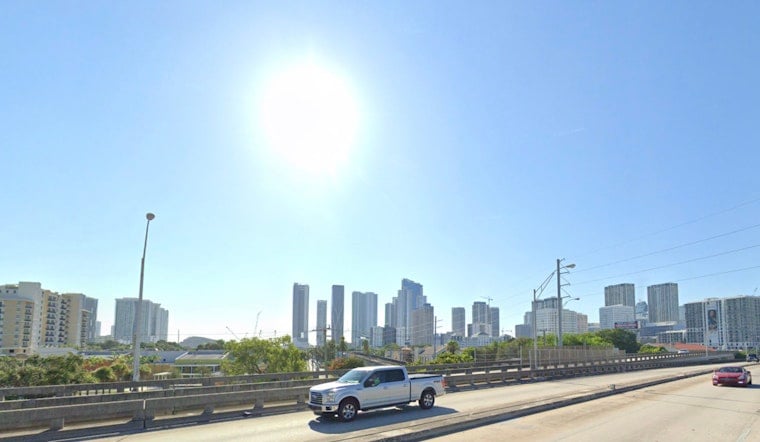
Miami woke Friday to clear skies, temperatures near 82°F and a west wind around 12 mph, but the calm start will not last. The city is headed for a high near 91°F, with humidity pushing the afternoon heat index as high as 108°F.
Heat Advisory Runs Through Friday Evening
The National Weather Service has issued a Heat Advisory for Miami-Dade and Broward counties from 11 a.m. to 6 p.m. Friday, warning that heat-index values could reach 105°F to 110°F. Officials recommend drinking plenty of fluids, staying in air conditioning when possible, avoiding the strongest afternoon sun and checking on neighbors who may be vulnerable to heat illness.
Mostly sunny conditions should hold through late morning before showers and thunderstorms become possible after 2 p.m. Friday. The rain chance is about 30%, but stronger storms can still bring lightning, brief heavy downpours, gusty winds and pockets of localized flooding, according to NWS Miami.
Weekend Turns Wetter Across South Florida
Saturday will remain hot, with mostly sunny skies, a high near 90°F and another 30% chance of afternoon showers and thunderstorms. Saturday night stays muggy near 82°F, with storms possible before 2 a.m., while Sunday brings a high near 89°F and a 40% chance of rain and thunderstorms.
The wetter pattern is expected to stick around into next week, with rain chances near 50% Monday and Tuesday and highs between 89°F and 90°F. Showers and thunderstorms become likely Wednesday and Thursday, when the chance of precipitation rises to about 60%, a notable shift from the drier breaks seen in earlier July heat coverage.
Plan Outdoor Time Around The Heat
For outdoor work, exercise or errands, Friday morning offers the most comfortable window before the advisory begins. If storms develop, head indoors at the first sound of thunder, and do not count on a passing shower to erase the heat and humidity for long.





