

























































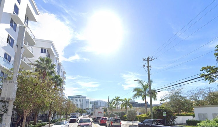
Miami wakes up mostly cloudy and muggy this morning, Friday, July 24, 2026, with temperatures stuck in the low 80s (around 82°F) and a few spotty coastal showers possible before sunrise. The rest of the day will stay steamy, with hot, humid conditions, scattered afternoon showers and thunderstorms likely, and highs near 89°F that will feel more like triple digits by mid to late afternoon.
Afternoon Heat And Weekend Outlook
This afternoon, scattered storms will favor inland areas and southwest Florida, but sea-breeze collisions could still fire up slow-moving storms over the east-coast metro that dump heavy rain and cause localized ponding. The chance of precipitation this afternoon sits at roughly 40 percent, and heat index values could push to around 103°F during peak heating. According to the National Weather Service, rain chances increase this weekend into early next week, with higher PoPs from Sunday through Tuesday and heat indices staying elevated.
How To Stay Cool
Temperatures will remain above normal through the weekend, so if you are working or playing outside, build in frequent water breaks and find shade whenever you can. Miami-Dade operates a network of cooling sites and park community centers that are open during heat season; if you need air-conditioned relief, see the county list for exact locations and hours. According to Miami-Dade County, many sites are open daily with extended hours.
Commute And Beach Impacts
Brief, heavy downpours can quickly reduce visibility and lead to temporary flooding on low-lying roads, so give yourself extra time for afternoon commutes and avoid driving through standing water. Thunderstorms may also kick up gusty winds and choppy surf near the coast; check radar and local park alerts before you head to the beach.





