

























































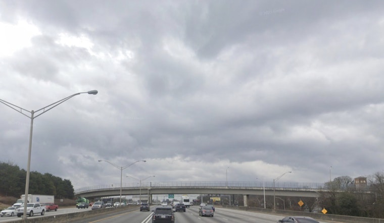
Monday, July 13, 2026, starts out clear over Hartsfield-Jackson and about 73°F, but the air is thick and sticky. Patchy dense fog is possible through daybreak, especially in neighborhoods that were drenched by heavy rain on Sunday. Showers and thunderstorms are expected to fire up later today and could hang around into tonight, so plan some extra time for the drive.
Storms Likely Through Tuesday
According to NWS Peachtree City, numerous to widespread showers and thunderstorms are likely today into Tuesday. The most active periods look to be from late morning into the afternoon, with another round possible this evening. A few storms could pack isolated damaging wind gusts up to 50-60 mph, along with locally heavy rainfall that may trigger flash or nuisance flooding. Highs should top out in the mid 80s, with temperatures slipping into the upper 70s to low 80s during the heaviest bursts of convection.
Morning Commute And Flooding Risk
Downpours can quickly lead to ponding on roads and sudden drops in visibility, while early-morning fog may also make it harder to see during first-shift travel. Slow down, use your headlights, and give yourself extra following distance. Areas that have taken repeated rounds of rain over the past 24 hours face a higher risk for localized flooding and stubborn standing water. If you come across a flooded roadway, turn around, do not drive through it, and report any downed trees or power lines to local authorities.
Heat Returns Late Week
The stormy setup should ease by midweek, but temperatures are expected to rebound into the upper 80s and low 90s by Thursday and through the weekend, with heat indices likely pushing into the triple digits. If you are sensitive to heat or do not have reliable air conditioning, check local options such as the City of Atlanta for cooling center locations and hours. Keep an eye on updated forecasts for any heat advisories later in the week.
What To Do
Before you head out, check for forecast updates and any new alerts. Park vehicles under cover if you can, and secure lawn furniture, trash cans, and other loose items that stronger gusts could toss around. Treat lightning as a serious threat by heading indoors and staying there until at least 30 minutes after the last rumble of thunder. Never drive through flooded streets. This briefing will be updated if any watches or warnings are issued.





