

























































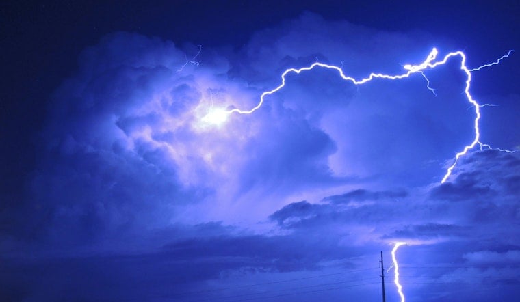
Emergency officials sounded the alarm Tuesday night as a broad severe thunderstorm watch settled in over parts of Kentucky, Tennessee, Virginia and West Virginia, holding through midnight CDT (1 a.m. EDT). The setup is primed for trouble, with damaging straight-line winds, very large hail and the possibility of a couple of tornadoes for communities from Evansville and Louisville east through Knoxville, Nashville and Asheville.
Watch area and timing
According to the National Weather Service, the Storm Prediction Center's watch kicked in around 5:10 p.m. CDT Tuesday and is scheduled to run until 12:00 a.m. CDT (1:00 a.m. EDT) Wednesday. Local NWS products also show a concurrent Flood Watch in effect for parts of Middle Tennessee through the overnight hours.
Primary hazards
Robertson County Emergency Medical Services reported that the watch highlights the risk for scattered damaging wind gusts up to 70 mph, hail up to ping-pong-ball size and the potential for a couple of tornadoes. The agency estimates roughly 3,501,478 people, about 1,051 schools and 98 hospitals sit inside the watch outline, urging everyone in the area to stay weather-aware and be ready to act quickly if warnings are issued.
How to stay safe tonight
If a warning is issued, officials advise heading indoors to a sturdy building, staying away from windows and moving into an interior room on the lowest floor. Residents are urged to secure loose outdoor items, avoid driving into standing water and keep a battery-powered radio or phone nearby for updates from the National Weather Service.
Local outlook
Local meteorologists and TV forecasts are flagging the evening commute through the overnight hours as the most concerning stretch, when storms may intensify or repeatedly track over the same locations, leading to flash flooding and downed trees. WSMV notes that the combination of extreme heat, a Flood Watch and tonight's severe-weather threat will keep conditions volatile well into the night.





