

























































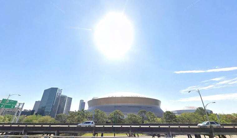
New Orleans started Friday with mostly clear skies and temperatures in the mid-80s, but the heat will build quickly. The high is expected to reach 94 degrees, with heat index values as high as 109, while a Heat Advisory remains in effect from 11 a.m. to 7 p.m.
Heat Peaks Before A Few Afternoon Storms
Partly sunny skies and west winds of 5 to 10 mph will dominate most of Friday. There is a slight chance of showers and thunderstorms between 1 p.m. and 5 p.m., but the rain chance is only 20%, so most residents should plan for heat rather than dependable storm relief.
The National Weather Service advises drinking plenty of fluids, staying in air conditioning when possible, avoiding direct sun and checking on relatives and neighbors. The advisory covers portions of southeast Louisiana and southern Mississippi, where the combination of heat and humidity could cause heat-related illness.
Saturday Stays Hot As Storm Chances Rise
Saturday will look mostly sunny with another high near 94 degrees and a heat index as high as 109. The bigger shift arrives late Saturday night into early Sunday, when showers and thunderstorms become likely with a 60% chance of rain.
Sunday should be somewhat cooler, with a high near 91, but storms are likely before 7 a.m. and remain possible through the afternoon. The strongest storms could bring heavy rainfall, strong to damaging winds and isolated flooding issues, especially as a stalled front lingers near the coast.
Next Week Brings Isolated Summer Storms
Temperatures will remain in the low to mid-90s Monday through Thursday, with overnight lows near 78 or 79. Rain chances ease to roughly 20% to 30% each day, favoring isolated afternoon and evening showers and thunderstorms rather than the broader storm coverage expected Sunday.





