

























































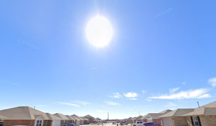
Oklahoma City is rolling into Saturday, July 11, 2026, with clear, warm skies and a quick climb into the mid 90s by afternoon, with scattered storms likely later in the day. Forecasters are calling for a high near 96°F and heat index values that could make it feel close to 100°F in the hottest neighborhoods. The main storm window opens this afternoon and becomes more widespread into the evening and overnight, with the potential for gusty winds and brief heavy downpours.
Afternoon Heat And Storm Timing
Scattered showers and the first round of thunderstorms are expected to pop after about 1 p.m., with the highest coverage between roughly 1 and 4 p.m., then ramping back up later this evening. A south-southwest breeze around 7 to 10 mph will keep humidity hanging around, pushing heat index readings into the mid to upper 90s. New rainfall of about a quarter to a half inch is possible where storms set up, and any slower moving cell could drop locally higher totals. National Weather Service
Evening Commute Risks
Storms that become more widespread after sundown may be slow to move, which means pockets of heavy rain could briefly knock down visibility and bog up traffic. Gusty, erratic winds are the main concern with stronger cells, so it is a good idea to secure patio furniture and be alert for falling branches once storms move in. If lightning or sudden wind gusts approach, head indoors and avoid standing under trees or near metal structures.
Sunday And The Week Ahead
Sunday, July 12, 2026, looks a touch cooler, with highs in the low 90s, but it stays humid and scattered afternoon storms are still on the table. As the new week settles in, the pattern favors a gradual warmup and lower overall rain chances by Tuesday and Wednesday. If you are planning outdoor time, mornings and late evenings are your best bet, since the hottest and stormiest stretch will continue to be the afternoons and evenings.
Where To Cool Off And Legal Note
If the heat gets to be too much, the city maintains a heat resources hub along with a compiled list of cooling centers. You can call 211 or check local listings for specific locations and hours. The City also notes that utilities may not disconnect service when the heat index reaches 101°F, a consumer protection meant to help households ride out extreme heat. For local resources and the cooling center list, see the City of Oklahoma City heat page. City of Oklahoma City
Keep a charged phone handy for alerts, bring water if you will be out this afternoon, and build in extra travel time in case storms fire up along your route. Updates will follow if watches or warnings are issued, so be sure to check radar and official forecasts before locking in your evening plans.





