

























































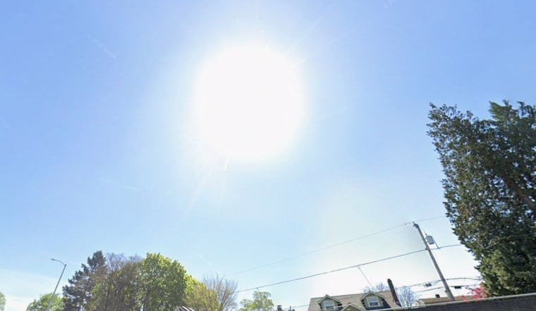
Portland is getting a classic summer warm-up on Wednesday, with plenty of sun and inland neighborhoods headed for the upper 80s under a light north-northwest breeze. The air should stay dry enough that the heat feels manageable for most folks, but a quick pattern flip tonight brings a chance of showers and a few isolated thunderstorms. Most of that action is expected late Wednesday night into early Thursday and should be brief, with just spotty light rain around the city.
Tonight Into Thursday
The National Weather Service is calling for a high near 89°F in Portland on Wednesday and says a weak low sliding onshore tonight will bump up the chance of showers and a few thunderstorms after about 11 p.m., with rainfall amounts generally under a tenth of an inch for much of the metro area, according to NWS Portland. Northwest winds inland stay on the tame side at roughly 2–7 mph, while the coast and higher terrain have a better shot at steadier showers. Forecasters also note a Small Craft Advisory for the Columbia River Bar this morning because of strong ebb currents. Overnight lows dip into the upper 50s to low 60s before temperatures bounce back on Thursday.
Weekend Heat Returns
After a brief cool-down Thursday, the heat rebuilds Friday and into the weekend, with mid-to-upper 80s expected Saturday and readings near 90°F by Sunday and Monday in inland neighborhoods. A moderate heat risk will be focused away from the immediate coast. For more on the warmup and how different parts of the metro area stack up, check out our earlier forecast on how temps race toward 90s.
How To Stay Comfortable
If you are sensitive to heat, try to skip heavy outdoor work during the 2–6 p.m. peak, drink plenty of water, and check in on older neighbors and people with medical conditions who might struggle with the warmth. The City of Portland posts guidance and lists cooling resources, including libraries and community centers that sometimes open during heat events; see the City of Portland for details on hours and locations.





