

























































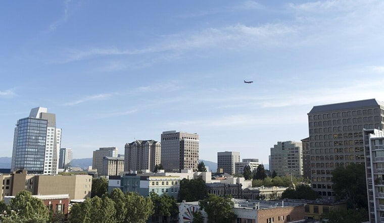
San Jose started today under a cool, gray lid of low clouds, with the marine layer keeping early temperatures around 55°F at Mineta San Jose. Those clouds are expected to peel back by late morning, setting the stage for mostly sunny skies and a warm afternoon high near 79°F. From there, the South Bay heads into a steady warm-up through the rest of the week, especially in inland neighborhoods that will feel noticeably hotter by the weekend.
Afternoon Winds And Temperatures
Once the stratus mixes out after mid-morning, the valley should see breezy north-northwest winds, with sunshine taking over for most of the day. Highs land around 79°F, then dip a bit in the late afternoon for spots closer to the Bay. Winds are forecast around 1-10 mph, with gusts up to 18 mph in more exposed areas, which could make bike commutes and ridge-top walks feel pretty blustery, according to the National Weather Service.
Weekend Outlook
Each day gets a little warmer: around 83°F tomorrow, low to mid 80s on Friday, and upper 80s inland by the weekend, with some hotter pockets pushing close to 90°F. Late Saturday into early next week, a surge of subtropical moisture brings a chance of high-based thunderstorms. If storms do form, the main concerns are dry lightning and gusty outflow winds rather than soaking rain.
Coastal Hazards And High Tides
Out at Pacific-facing beaches, a Beach Hazards Statement is in effect through Friday, as a long-period southwest swell raises the risk of sneaker waves, strong rip currents and breaking surf up to about 10 feet, according to the National Weather Service. On top of that, a Coastal Flood Advisory runs from tomorrow through July 16, with late-night high tides potentially running as much as 1.7 feet above normal in low-lying shoreline areas. The extra-high water levels are being juiced by a perigean spring tide, with the moon near perigee on July 13 and a new moon on July 14, as explained by NOAA.
What To Do
While the Beach Hazards Statement is posted, steer clear of jetties, rocks and other waterside structures, and avoid swimming in the roughest spots. Move vehicles and valuables out of low-lying bayside parking lots before high tide on Thursday, July 9, and stay cautious through the advisory period ending July 16. If you are heading for the coast, pick lifeguarded beaches, keep a close eye on children, and check local tide forecasts and the National Weather Service for updates.





