

























































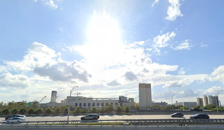
Miami woke up in full sauna mode this morning, July 23, with mid‑80s readings at Miami International Airport and the kind of muggy air that feels more like a wet blanket than a breeze. Highs are headed toward about 89°F, and once you factor in the humidity, the afternoon heat index is expected to climb into the low‑100s. Scattered showers and thunderstorms are on the table after midmorning, mainly inland and over southwest South Florida, while the Atlantic side hangs onto a breezy and mostly dry setup.
Afternoon Heat And Storms
Showers and storms could start popping after about 7 a.m., with coverage ramping up inland and across southwest Florida through the afternoon. Air temperatures should top out near 89°F, but it will feel hotter, with heat‑index values running roughly 100 to 103°F. East winds are expected around 10 to 15 mph, with gusts close to 20 mph.
Most storms will not be washouts, with rainfall generally around a tenth to a quarter of an inch. The trouble comes from slower movers, which can briefly dump heavy rain and cause quick ponding on streets and low spots. Forecast details come via the National Weather Service Miami.
Beaches, Boaters And Commute Tips
A moderate easterly flow this morning is roughing up the Atlantic side a bit, elevating the rip‑current risk at area beaches and keeping things choppy for small craft. At the same time, Tropical Storm Bertha in the northern Gulf is kicking up swells and has already led to closures and warnings along parts of the Gulf Coast. Its main impacts remain well west of Miami, but the swell and shifting surf can still matter if you are headed out on the water.
Boaters should have a quick exit plan in case a sudden squall rolls through and keep a close eye on radar and forecast updates, according to the Associated Press.
Weekend Outlook And Flood Risk
Rain chances creep up into the weekend and early next week as deeper moisture moves back in. By Sunday, low‑level winds are expected to turn more westerly, which will shove more of the afternoon storm action toward the east‑coast metro areas.
That pattern raises the odds of repeated downpours over the same neighborhoods and localized flooding in poor‑drainage spots, so outdoor plans could need last‑minute adjustments. Temperatures stay above normal, with daytime highs generally in the low to mid 90s and heat‑index readings still punching past 100 on many afternoons. For background on the ongoing hot and stormy setup, see our earlier look at the steamy Miami morning.
Stay Safe And Beat The Heat
Forecasters say confidence is low that conditions will quite hit official heat‑advisory criteria today, but the combo of hot afternoons and warm, sticky nights can still trigger heat‑related illness.
If you have to be outside, hydrate frequently, take regular breaks in the shade or air conditioning, and avoid heavy exertion during the peak heat of the day. If your home cooling is unreliable, consider cooling‑center options or calling 311 for help.
Afternoon storms can flare quickly, so keeping an umbrella or light rain jacket within reach is not a bad idea. Keep an eye on local radar and be ready to move indoors if a downpour or thunderstorm develops nearby. Staying weather‑aware and flexible with plans is the best way to get through another steamy South Florida day.





