

























































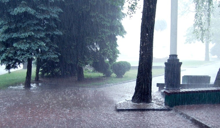
Clear skies and muggy air started the day across the New Orleans metro, with temperatures already in the low 80s. That calm setup is about to break as a soggy stretch settles in beginning Sunday, July 12, 2026, with scattered showers developing and the highest risk of slow-moving, heavy storms arriving Monday, July 13, 2026.
Timing And Rain Totals
Showers are expected to kick off early Sunday, with the best chance between 7 and 9 a.m. on July 12, 2026. Storms then become more likely around midday and may linger into the afternoon. Sunday’s high should reach near 90°F before easing back into the mid 80s later in the day.
Rain amounts on Sunday look mostly light, on the order of a few tenths of an inch. Monday, July 13, 2026, is the day to watch, with heavier totals on the table. Many neighborhoods could see a few tenths of an inch up to about three quarters of an inch, with slow-moving storms capable of dropping locally higher amounts.
According to the National Weather Service New Orleans, the short-term forecast includes pockets of 1 to 2 inches where storms repeatedly track over the same areas.
Flooding And What To Do
A slow frontal boundary combined with deep tropical moisture will make these storms efficient rain producers. Forecasters say localized flash flooding is possible on Monday, July 13, 2026, especially where storms repeatedly move over the same streets.
Low-lying neighborhoods, underpasses and the neutral ground are the most likely spots for quick ponding. Residents should move vehicles to higher ground where possible and avoid driving through standing water. Turn around, do not drown, and find an alternate route if you encounter flooded streets.
We recently looked at the broader pattern of heat and pop-up storms in our earlier coverage of the Big Easy steam bath.
Commute And Outdoor Plans
Drivers should build in extra time for Sunday morning and midday travel, as sudden downpours can quickly cut visibility and overwhelm drains, leading to slowdowns. Outdoor events planned for Sunday afternoon and Monday should have an indoor backup or flexible start times so organizers can move people under cover quickly if storms develop.
Some stronger cells may bring brief gusty winds, but widespread damaging wind is not expected to be the main issue during this stretch. The primary concern is heavy rain over short periods.
Boaters And Mariners
Out on the water, thunderstorms over the Gulf and nearby bays could spin up waterspouts and sudden gusts. Small-craft operators should be ready to head for shelter if storms approach.
Heavy rain will also reduce visibility in a hurry and can kick up choppy seas for several minutes at a time, so mariners should keep a close eye on the sky and radar before heading out.





