

























































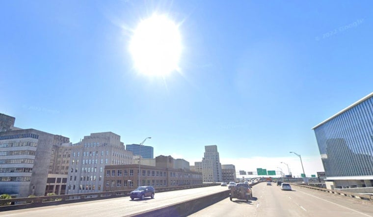
New Orleans started Thursday, July 9, in classic summer mode: clear, muggy, and sticky, with temperatures near 81°F and dewpoints in the mid-70s. Forecasters expect highs around 92°F and about a 40% chance of scattered afternoon showers and thunderstorms that could cut into outdoor plans. With the humidity cranked up, heat-index values are expected to push into the triple digits, so it will feel hotter than the thermometer suggests.
Afternoon Heat And Storms
The high is expected to top out near 92°F with a heat index that could reach 105°F, and a 40% chance of showers and thunderstorms developing after noon, according to the National Weather Service. The strongest storms may bring gusty winds and brief, heavy downpours. Toss an umbrella in the car and give yourself some extra time if you have afternoon errands, kid pickups, or events on the calendar.
Timing And Commute
Most storms are expected to bubble up between midday and late afternoon, lining up neatly with the hottest part of the day and the busiest commute hours. That timing raises the risk of sudden visibility drops and quick ponding on low-lying streets. Outdoor events, after-work workouts, and early evening plans could take a hit from short but intense downpours. For a look at this same summertime pattern in action, see Big Easy boils as pop-up storms crash afternoon plans.
Cooling Options And Safety
If the heat becomes too much, the city’s Heat Relief Map highlights libraries, recreation centers, and pools that open as public cooling sites during heat events; check the interactive map before you head out, according to NOLA Ready. Stay hydrated, avoid strenuous outdoor work during the peak afternoon heat, and check on neighbors, older adults, and others who may be more vulnerable to heat illness.
Weekend And Early-Week Rain Risk
Looking ahead, model guidance and the forecast discussion point to a slow-moving frontal boundary approaching next week, which should raise the risk of heavier, more widespread rain Monday–Wednesday, July 13–15. The discussion notes precipitable waters near the 90th percentile and Weather Prediction Center guidance of 3–5 inches in favored spots, so repeated or training storms could lead to localized flash flooding, and waterspouts will also be possible over coastal waters, especially in the early morning hours, according to the National Weather Service. If you have plans later in the week, keep them flexible and check for updated watches and warnings.
Bottom line: expect a hot, humid Thursday with scattered afternoon storms that could briefly knock plans off course, and an elevated flood threat early next week. Carry water, keep an umbrella handy, and check local alerts before heading out; this space will be updated if advisories change.





