

























































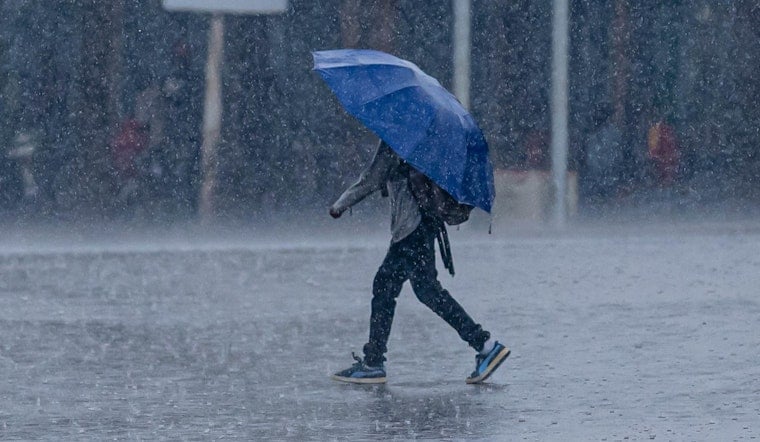
Oklahoma City rolled into Sunday under a low, gray ceiling and air thick enough to feel. By 5:35 a.m. CDT on Sunday, July 12, 2026, Will Rogers World Airport (KOKC) was already clocking cloudy skies and about 68°F, and scattered storms were sliding across parts of the metro. Drivers out early should keep an eye on radar for quick bursts of heavy rain that can slash visibility and leave behind standing water.
According to the National Weather Service Norman, that early wave of storms dropped pockets of very heavy rain, with some spots picking up 2 to 2.5 inches in about an hour, and the atmosphere will stay juiced for more storms through the day. Forecast guidance calls for a high near 89°F with roughly a 30 to 40 percent chance of showers and thunderstorms through the afternoon. Forecasters say a few storms could turn strong with gusty winds and locally heavy rainfall. New rainfall totals of a few tenths of an inch are possible where storms roll through, which is enough to cause ponding on low-lying streets.
Afternoon Outlook
Most of the metro will see the best shot at storms this afternoon and into the evening as leftover boundaries from the morning activity and daytime heating work together to spark new development. Light east winds around 3 to 8 mph will help keep humidity up, so it may feel warmer than the thermometer suggests. If you have outdoor plans, expect on-and-off downpours that can quickly slick up roads and cut down visibility in a hurry.
Plan Ahead
For a more controlled cool-down, OKC Parks has family aquatic centers, community pools and spraygrounds open on a summer schedule, so it is worth checking hours and entry rules before you head out. Community pools and staffed aquatic centers are a solid backup if storms chase you indoors or you simply need a break from the humidity. If you are commuting this afternoon, plan on a little extra time and skip any roads that take you through flooded spots.
Week Ahead
The active pattern should start to settle down later in the week, with highs near 90°F Monday and Tuesday and drier, hotter weather building in by the end of the week. Mid to upper 90s are possible by Friday and Saturday. Keep an eye on the forecast timing and any watches or warnings that may be issued as storms bubble up. Check for updates before heading out, and watch the National Weather Service Norman for any warnings or forecast changes.
Slow down in heavy rain, secure loose outdoor items ahead of gusty winds, and have a dry backup plan ready for any outdoor events this afternoon or tonight. We will post updates if warnings are issued for your neighborhood.





