

























































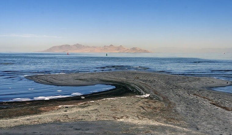
The Great Salt Lake sits at the bottom of a vast, 36,000-square-mile bowl that stretches past Utah's borders, and state planners say the lake's fate will depend on what happens across that entire basin. This week, water managers, researchers and industry representatives gathered at a Solutions Exchange to test-drive new tools that show how decisions upstream ripple down to the lake. The pitch: treat the lake as the end of a whole system, then use modeling, scenario planning and trade-off analysis to guide what happens next.
One Plan To Pull Basin Work Together
As outlined by the Utah Division of Water Resources, the Great Salt Lake Basin Integrated Plan (GSLBIP) is billed as the first basin-wide, long-term water plan for the watershed. The effort is designed to pull technical studies, performance metrics, and public input into one decision framework. The work plan describes an "integrated collaborative process" that ties together ongoing studies so managers can weigh trade-offs across municipal, agricultural, industrial and ecological goals instead of treating them in isolation.
Modeling The Whole Watershed
A major hydrodynamic model, described by federal partners as the basin’s decision-support backbone, is being developed with the U.S. Bureau of Reclamation to simulate how streamflow, reservoir operations and climate shifts affect lake level and salinity. Engineering teams, including Precision Water Resources Engineering, are building the Great Salt Lake Basin River Planning Model in RiverWare so planners can run management scenarios under both historical and projected climates.
Who Showed Up At The Solutions Exchange
The Solutions Exchange, co-hosted by the Office of the Great Salt Lake Commissioner and the Great Salt Lake Alliance, brought in agency staff, watershed councils, academics, industry representatives and local water managers to compare assumptions and surface options, organizers said. According to a Utah Department of Natural Resources post, Laura Vernon, the Great Salt Lake basin planner, walked participants through the integrated approach and framed the plan as one that aims to support a healthy lake alongside regional economic activity and quality of life. The Snowbird convening was also highlighted by the Janet Quinney Lawson Institute at Utah State University, which said presentations and a synthesis report will be posted online and described the meeting as a practical exercise in lining up priorities across sectors.
Why This Matters For Birds And The Economy
The stakes stretch far beyond the shoreline. The National Audubon Society estimates the Great Salt Lake system supports roughly 12 million migratory birds each year and has mapped priority wetland complexes that would benefit most from targeted water and habitat investments. Federal partners also note that the basin covers about 36,000 square miles, includes more than a million acres of irrigated farmland and serves millions of residents, details that make every trade-off both complicated and high stakes, according to the Bureau of Reclamation.
Next Steps And Timeline
Project documents show the GSLBIP is moving through a phased schedule of modeling, stakeholder engagement and targeted studies, with an overall finish line laid out in recent reviews. The GSLBIP 2025 Year in Review reports that climate modeling and the river-planning model are well underway and that the integrated plan is on track to wrap up in late 2027, according to the GSLBIP 2025 Year in Review.
What To Watch Next
Officials say presentations and breakout takeaways from the Solutions Exchange will be posted online, and stakeholders will be invited to weigh in as model scenarios are refined. Anyone seeking updates can visit gslbasinplan.utah.gov or email the team at [email protected]. How those modeled trade-offs eventually show up in policy, from voluntary water leasing and conveyance fixes to targeted restoration investments, will determine whether upstream choices help stabilize the lake or leave more of its bed exposed.





