

























































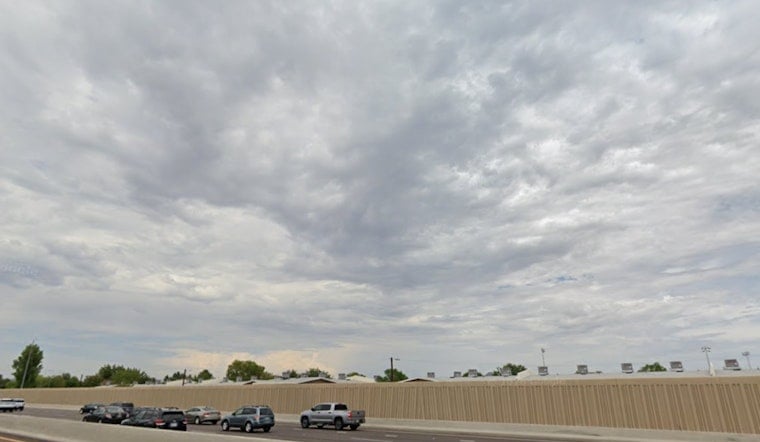
Sunday, July 19, 2026: Central Phoenix woke up mostly clear and sitting around 84F early this morning, but the cool start will not last long. Temperatures are expected to rocket to a high near 100F this afternoon. There is a slight chance of showers and thunderstorms before 8 a.m., mainly over higher terrain and only isolated over the Valley, before skies turn mostly sunny later in the day. Overnight lows will linger in the mid-80s, so anyone hoping for real overnight relief is out of luck.
Afternoon Storms Could Be Brief but Punchy
Daily storm chances through the weekend remain focused over the mountains, but a 2099% chance exists that a few storms will drift into the lower deserts and Phoenix, bringing brief bursts of heavy rain and erratic gusty winds. The National Weather Service in Phoenix warns that outflow winds and sudden downpours could quickly cut visibility and create hazardous driving conditions wherever a storm pops up. Widespread flash flooding is not expected across most of the Valley, but localized street flooding or sudden strong wind gusts are on the table near any stronger cells.
Heat Ramps Up Through the Workweek
Temperatures are set to climb steadily in the days ahead. Highs should land around 102F on Monday and roughly 103F on Tuesday, with midweek readings near 105F. By Thursday and Friday, the Valley could be staring at upper-100s (around 108F), and long-range guidance points to a return to 110F or higher by Saturday. If you have outdoor work or events planned, push as much as possible to early morning or evening hours and keep water close at hand.
Where to Cool Off
The City of Phoenix operates a network of cooling centers, hydration stations, and respite sites across town. Locations and hours are listed on the city’s heat relief page at City of Phoenix cooling centers. If the National Weather Service issues an Extreme Heat Warning later this week, some trails and outdoor events may adjust hours, so check local updates before heading outside.
Bottom line: expect a hot Sunday with only a small chance of morning storms, followed by steadily rising heat into next weekend. Keep an eye on the forecast and local heat resources before locking in outdoor plans, and check on neighbors who might need extra help staying cool.



