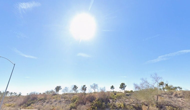
By 5:35 a.m. PDT on Sunday, July 5, 2026, North Las Vegas was already off to a toasty start. Local observations showed clear skies and about 82°F at the station, and temperatures are climbing quickly. This afternoon’s high is forecast to reach around 106°F, with overnight lows stuck in the mid-80s, so even late-night hours will not offer much relief.
What To Expect This Week
The heat only builds from here. Temperatures are projected to rise from about 106°F on Sunday, July 5 to a likely midweek peak near 110–113°F by Thursday, July 9. Monday and Tuesday will stay dangerously hot, with daytime highs in the 107–110°F range and nighttime lows holding in the mid-80s. These trends come from the National Weather Service’s local forecast and office discussion, according to NWS Las Vegas.
Afternoon Gusts and Outdoor Safety
Each afternoon, south-southeast winds are expected to pick up to around 3–13 mph, with occasional gusts near 20–23 mph. That mix of intense heat and a dry breeze can speed up dehydration and quickly turn mid-day yard work, construction, or outdoor workouts into a health risk. Drink water often, move the heaviest chores to morning or evening if you can, and check on older neighbors or anyone who may not have dependable air conditioning.
Cooling Stations and Local Resources
Clark County is opening daytime cooling stations and providing other heat resources for residents who need a safe place to escape the heat. Typical locations include libraries, community centers, and homeless service sites. Call 2-1-1 or review local listings for details on hours and any pet rules. You can find the county’s announcement and site information via Clark County.
Looking Ahead
Forecasters also point out that a monsoonal pattern could start pulling moisture northward late next weekend. That could bring a chance of isolated showers or thunderstorms over higher terrain. Confidence in the exact timing and coverage is still low, but any storms that do form may produce brief heavy downpours or gusty outflow winds across the mountains. We will pass along updates if storm chances increase or if any advisories are issued.


