

























































A flood forecasting platform built in Baton Rouge is about to go global. The Water Institute has partnered with Finland-based satellite company ICEYE to expand FloodID, a Louisiana-developed flood intelligence tool already enrolled by more than 200 government users during a pilot program, across the United States and internationally.
The deal combines FloodID's predictive modeling with ICEYE's satellite-based Earth observation capabilities, according to New Orleans CityBusiness. FloodID uses predictive modeling and localized information about potential flooding risks to help officials make decisions before, during and after floods, providing timely information to emergency managers, infrastructure operators, businesses and communities. It is currently used in emergency operations centers across several hurricane-prone states and municipalities.
ICEYE brings a different but complementary capability to the table. The company owns a constellation of synthetic aperture radar satellites that can monitor the Earth's surface day or night and through cloud cover and severe weather, according to PR Newswire. That same radar network can deliver 96-hour advance flood warnings and post-peak impact data within 24 hours, per ICEYE's own materials describing the technology. Once combined, ICEYE satellite observations and FloodID's predictive capabilities will provide information about existing flood conditions and what could happen next, identifying people, infrastructure and properties that could be at risk from flooding.
A Baton Rouge Nonprofit Behind the Technology
FloodID was engineered by The Water Institute to process compound flooding by simultaneously modeling coastal storm surge, riverine overflow, and pluvial rain-driven flooding, including in ungauged headwater catchments, according to The Water Institute. The platform produces localized operational forecasts with up to a 120-hour horizon refreshed every six hours, along with real-time nowcasts of existing water extent and post-event hindcasts for damage assessment, the institute says. FloodID can support a range of use cases building on those hydrologic predictions.
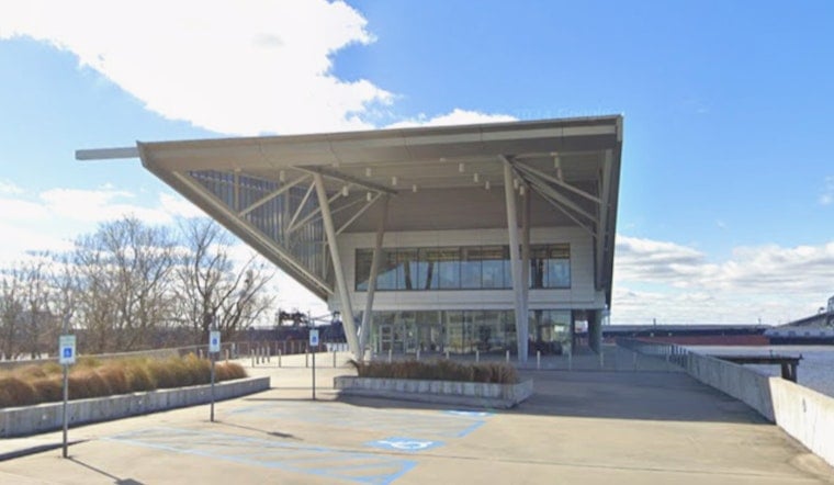
The Water Institute is an independent applied research organization headquartered in Baton Rouge, founded in 2011 in response to major Gulf Coast natural disasters including Hurricane Katrina and the Deepwater Horizon oil spill. The organization focuses on reducing risks to communities, ecosystems and economies from environmental challenges. Beaux Jones, president and CEO of The Water Institute, said FloodID puts better, faster, more localized flood intelligence into the hands of decision makers.
“Louisiana and Gulf Coast experience has generated science, expertise and technology relevant beyond the region,” Jones said, describing the broader significance of the partnership.
Built With Amazon, Tested During Hurricane Season
The FloodID pilot was developed with support from Amazon and uses Amazon Web Services technology, running on cloud-native, serverless architecture that allows low-latency querying and browser-based spatial rendering during disasters, according to a presentation filed with NOAA VLab. Before its integration with ICEYE, FloodID underwent operational beta testing during the 2024 hurricane season in hurricane-vulnerable jurisdictions, including Louisiana state emergency operations and Jacksonville, Florida, giving local emergency managers a chance to weigh in during active weather.
Jeffrey Schweitzer, Amazon's disaster relief technology and innovation lead, said better information can help communities prepare in advance. Amazon has said that expanded access to predictive flood information could help communities prepare earlier for increasingly complex flooding events. The FloodID pilot remains available to federal, state and local government organizations during hurricane season this year, even as the underlying technology moves into ICEYE's commercial operations.
Engineering Team and Leadership Move to ICEYE
The organizational shift accompanying the technology transfer is substantial. The Water Institute said several FloodID team members have joined ICEYE, and former Water Institute Senior Vice President Hugh Roberts has joined ICEYE as its Head of Predictive Intelligence, a role in which he will oversee the technology he helped build in Baton Rouge.
Will Panchaud, senior director of product solutions at ICEYE, said FloodID strengthens the company's predictive intelligence capabilities. Headquartered in Finland, ICEYE operates in more than 30 countries and employs more than 1,000 people globally, providing satellite-based intelligence for government, defense, environmental monitoring, insurance and emergency management customers. The Water Institute and ICEYE said they are working to maintain continuity for agencies and partners already using FloodID as the transition unfolds.
Louisiana's Push to Commercialize Homegrown Water Technology
The FloodID-ICEYE deal lands amid a broader state effort to turn Louisiana's water management research into exportable products. In March 2026, Louisiana Economic Development launched the Water Innovation Studio of Louisiana, housed at The Water Institute and created with Louisiana Innovation, a division of Louisiana Economic Development, according to Louisiana Economic Development. The studio is designed to move Louisiana-developed water technologies from research into commercial applications.
Josh Fleig, chief innovation officer at Louisiana Economic Development, described FloodID as an example of Louisiana research reaching a broader commercial market. According to The Water Institute, the partnership could also lead to collaboration between the two organizations on coastal resilience issues beyond flooding. The Water Institute has also launched Mississippi River 100, a regional initiative marking the upcoming 2027 centennial of the Great Mississippi River Flood of 1927, which inundated 23,000 square miles across seven states and reshaped American flood management and river engineering policy — a reminder of the scale of the flood risks that tools like FloodID are now built to anticipate.





