

























































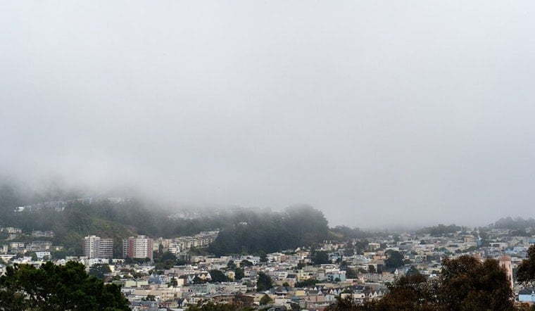
San Francisco is waking up to cool, damp air today, with temperatures around 58 degrees and a stubborn marine layer overhead. A little drizzle may linger into the late morning, but the city should turn partly sunny by the afternoon, with a high near 66. The forecast is less summer blockbuster and more classic Fogust, though brighter skies are on the way.
Drizzle Gives Way To Afternoon Sun
The National Weather Service in San Francisco says the chance of drizzle is slight and should fade before 11 AM. After that, clouds should break up as west-southwest winds build to 6 to 14 mph, with gusts up to 21 mph. Temperatures may slip back toward the mid-60s during the afternoon, especially where the breeze hits hardest.
Clouds Return Saturday Night
Tonight will be mostly cloudy, with a low around 57 and west-southwest winds between 5 and 13 mph. Tomorrow brings another partly sunny day, a high near 67, and no rain in the forecast. The marine layer is expected to keep mornings and evenings cooler than the afternoon headlines suggest.
A Gradual Warm-Up Arrives Next Week
Next Monday through Wednesday should remain partly sunny, with highs ranging from 66 to 68 degrees and overnight lows in the upper 50s. Next Thursday and Friday look slightly cooler, with highs near 65, but the broader trend is toward warmer and drier conditions as high pressure builds inland. That will likely shrink the reach of the marine layer, although coastal neighborhoods should still expect plenty of morning cloud cover.
No watches, warnings, or advisories are listed for San Francisco. For waterfront walks, hilltop outings, or evening plans, a light jacket remains the sensible accessory; the afternoon sun may show up, but the bay breeze is still very much on the guest list.





