

























































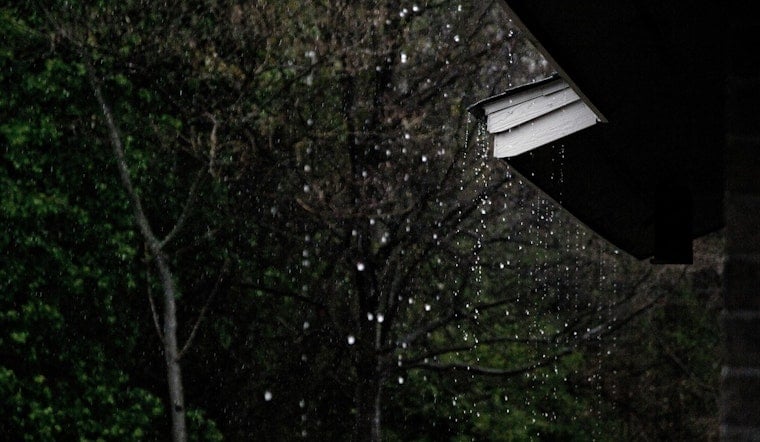
Phoenix starts Thursday clear and near 79 degrees, but the brief break from triple-digit heat will not last long. The high is expected to reach about 99 degrees, with a small chance of afternoon showers or thunderstorms after 2 p.m.
Limited Storm Chances Thursday
Mostly sunny skies will dominate the morning before isolated showers or thunderstorms become possible during the afternoon. The rain chance is about 20%, and another slight chance could develop between 9 and 10 p.m. as temperatures fall toward 82 degrees.
Winds should stay light, generally around 5 mph from the south, though conditions may shift during the afternoon. Friday will be partly sunny with a high near 100 and only a small chance of a shower or weak storm.
Weekend Heat Builds Fast
The forecast turns noticeably hotter Saturday, when Phoenix could reach 104 degrees under mostly sunny skies. Sunday is expected to climb to 107, with dry air settling in and little chance of rain across the Valley.
Monday through Wednesday look hottest of all, with highs near 110 degrees and overnight lows around 90. The National Weather Service has issued an Extreme Heat Watch for the Phoenix metro during that stretch, warning that heat-related illness risks will rise significantly.
Cooling Help Available Across Maricopa County
Residents who need relief can use the county’s Heat Relief Network to find free cooling centers, respite locations, hydration stations and transportation assistance. Maricopa County says people can also call 2-1-1 for help locating services.
For outdoor plans, the safest window will be early in the day before temperatures peak. Drink water, take frequent breaks in air conditioning or shade, and call 911 if someone shows signs of heat stroke.





