

























































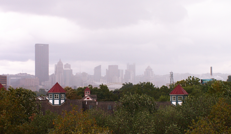
Early Sunday, Pittsburgh is waking to fog and mist, with temperatures around 72°F near Allegheny County Airport and visibility reduced to roughly 3.5 miles. The bigger problem arrives as the day unfolds: showers and thunderstorms are expected, with a high near 83°F and a 90% chance of rain. Some storms could unload heavy rain, making a soggy Sunday more than just an umbrella day.
Flood Watch Covers Pittsburgh Through Monday Morning
The National Weather Service has a Flood Watch in effect for Allegheny County and much of the surrounding region through 8 a.m. Monday. The broader watch calls for 1.5 to 2.5 inches of rain through Monday morning, with isolated totals of 3 to 5 inches possible. That could quickly push water into creeks, streams, low-lying roads and other flood-prone spots, especially where the ground is already wet.
Sunday's local forecast calls for another half to three-quarters of an inch during the day, followed by a quarter to half inch tonight. Storm chances remain high from afternoon into evening, when forecasters say stronger cells could bring damaging winds; a lower-end tornado threat also remains possible. If thunder roars, head indoors and do not wait for the rain to become intense.
Storms May Linger Into The Evening
Showers and thunderstorms are expected before 10 p.m., with additional chances lingering through the overnight hours and a low near 71°F. Southwest winds will run around 9 mph, but gusts can become stronger near storms. Drivers should allow extra time, avoid flooded underpasses and never try to cross water covering a road.
Monday Brings A Gradual Reset
Monday starts with a slight chance of rain, then a chance of showers and thunderstorms from late morning into the afternoon. Skies turn partly sunny with a high near 82°F, and precipitation should taper as cooler, drier air arrives. Monday night falls to around 61°F, with patchy fog possible after 4 a.m.
Dry Break Tuesday Before More Midweek Storms
Tuesday looks like the cleanest day of the stretch: patchy morning fog should give way to sunshine and a high near 81°F. Storm chances return Wednesday afternoon and evening, when showers and thunderstorms are likely, then ease to a chance of an early shower Thursday with a high near 78°F.
Friday should be mostly sunny with a high near 79°F and only a slight chance of afternoon showers. Saturday warms back to around 81°F, with another chance of showers and thunderstorms after 2 p.m., so the week is not exactly turning into a weather-free zone.





