

























































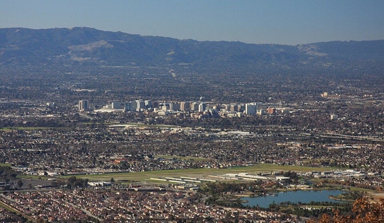
San Jose is waking up today under a cloudy sky and temperatures in the low 60s, but the gray lid should lift by late morning. The city is headed for a mostly sunny afternoon near 83 degrees, with no rain expected.
Clouds Clear As Afternoon Winds Pick Up
Low clouds may linger through the early commute before brighter skies spread across the South Bay. Northwest winds will build from around 3 mph in the morning to roughly 7 to 10 mph during the afternoon, making for a noticeable but manageable breeze.
According to the National Weather Service, Tonight will turn partly cloudy with a low near 61 degrees. Wednesday looks like the warmest day of the week, with sunshine and a high around 86, followed by another mostly sunny day near 85 on Thursday.
Weekend Cooldown Rolls Into Next Week
The bigger shift arrives on Friday, when San Jose's high drops to about 80 degrees. Saturday should reach 79, next Sunday 78, and next Monday 74, continuing the gradual cooldown noted in an earlier Hoodline forecast.
Overnight temperatures will also become more autumn-like by Bay Area standards, falling from the low 60s this week to the upper 50s over the weekend and around 56 degrees next Monday morning. The forecast remains mostly dry, though forecasters are watching for a small chance of added tropical moisture in the broader region Friday into the weekend.
Dry Hills Keep Fire Weather Concerns Elevated
Near the Bay and coast, morning clouds may linger longer and afternoons will be cooler than in San Jose. Above 1,000 feet, the National Weather Service says warm, dry conditions and poor overnight humidity recovery will keep fire-weather concerns elevated through Thursday, even though no local watches or warnings are in effect.
For city residents, Tuesday's best outdoor window arrives from late morning through the afternoon, when skies brighten and temperatures climb. A light layer should come in handy after sunset, especially as the cooler weekend pattern settles over the South Bay.





