

























































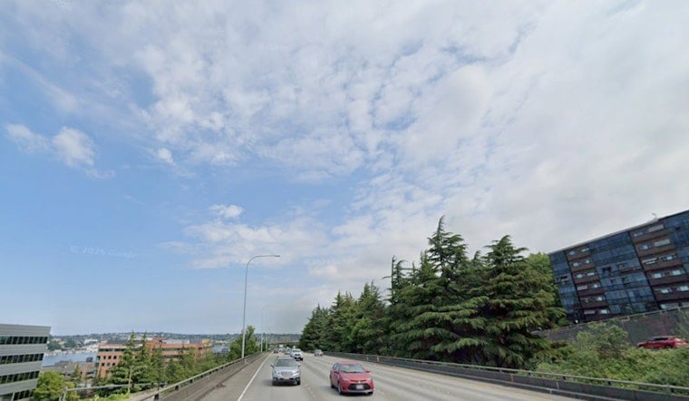
Seattle woke Sunday to partly cloudy skies and temperatures around 61 degrees, but a brighter afternoon is on the way. The forecast calls for mostly sunny conditions and a high near 74, making it a comfortable day for parks, patios, and waterfront walks.
The National Weather Service Seattle office says showers and isolated thunderstorms should stay mainly in the mountains and northern parts of Western Washington this morning before fading later Sunday. Seattle has only a 7% chance of rain, with light winds shifting from the southwest to the northwest at roughly 3 to 6 mph.
Warm, Dry Weather Builds Monday And Tuesday
Monday will be sunny with a high near 76, though patchy smoke could move into the area after 3 p.m. Winds will turn northerly, generally running 6 to 10 mph during the day.
Tuesday is expected to be the warmest day of the week, with sunny skies and a high near 84 degrees. Smoke from wildfires in British Columbia and eastern Washington could drift back into Western Washington at times, while anyone heading toward the Cascades should be aware that hot, dry conditions will raise fire-weather concerns there.
Cooler By Midweek
Temperatures ease back to around 76 on Wednesday and 72 Thursday as onshore flow returns. Clouds will increase later in the week, and the chance of light precipitation rises slightly Wednesday and Thursday, although no major rain event is currently expected.
Overnight lows will stay mostly in the mid-to-upper 50s, including about 57 Sunday night and 58 Monday night. No watches or warnings are currently posted for the Seattle area.



